LFNN-Narbonne
LFNN Narbonne Vinassan V1.0
L’aérodrome de Narbonne-Vinassan (code OACI : LFNN) est un aérodrome agréé ouvert à la circulation aérienne publique (après reconnaissance du terrain avec un instructeur)1, situé à 2 km à l’est-nord-est de Narbonne dans l’Aude (région Occitanie, France).
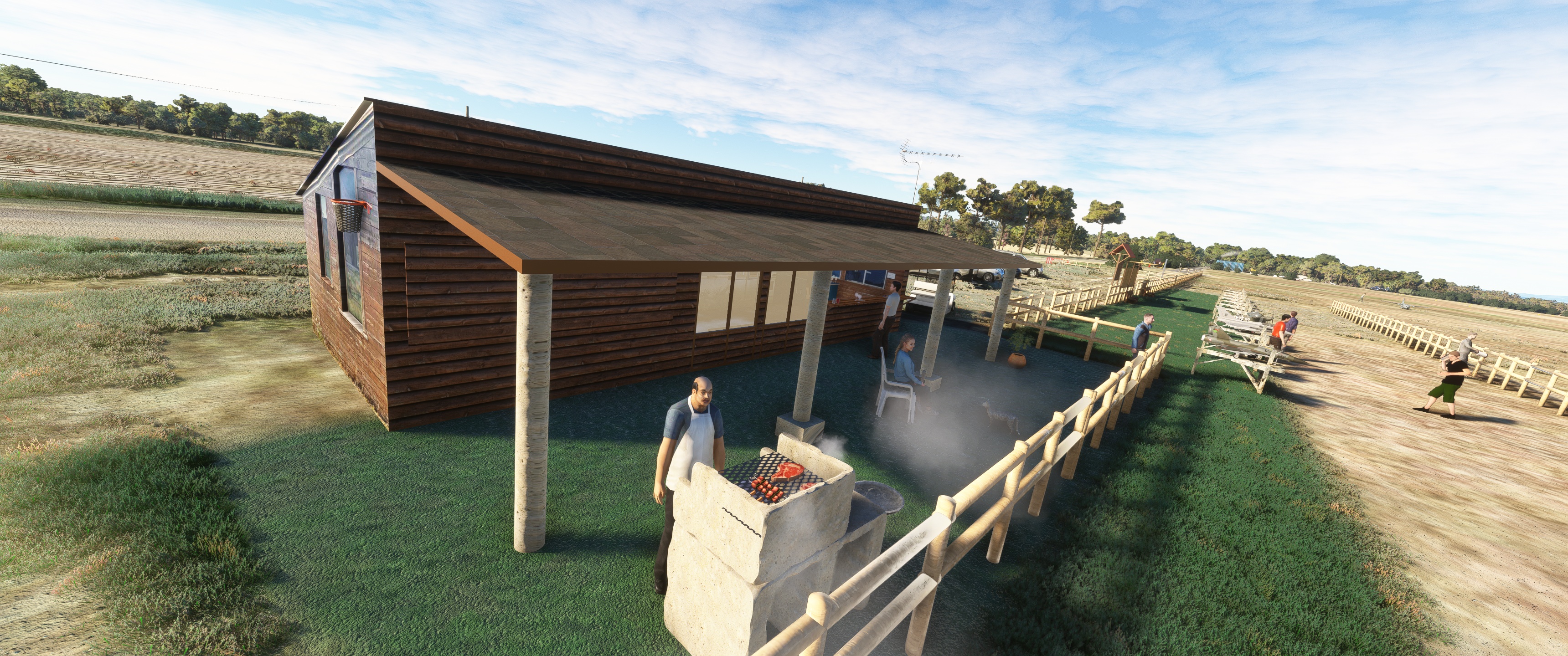
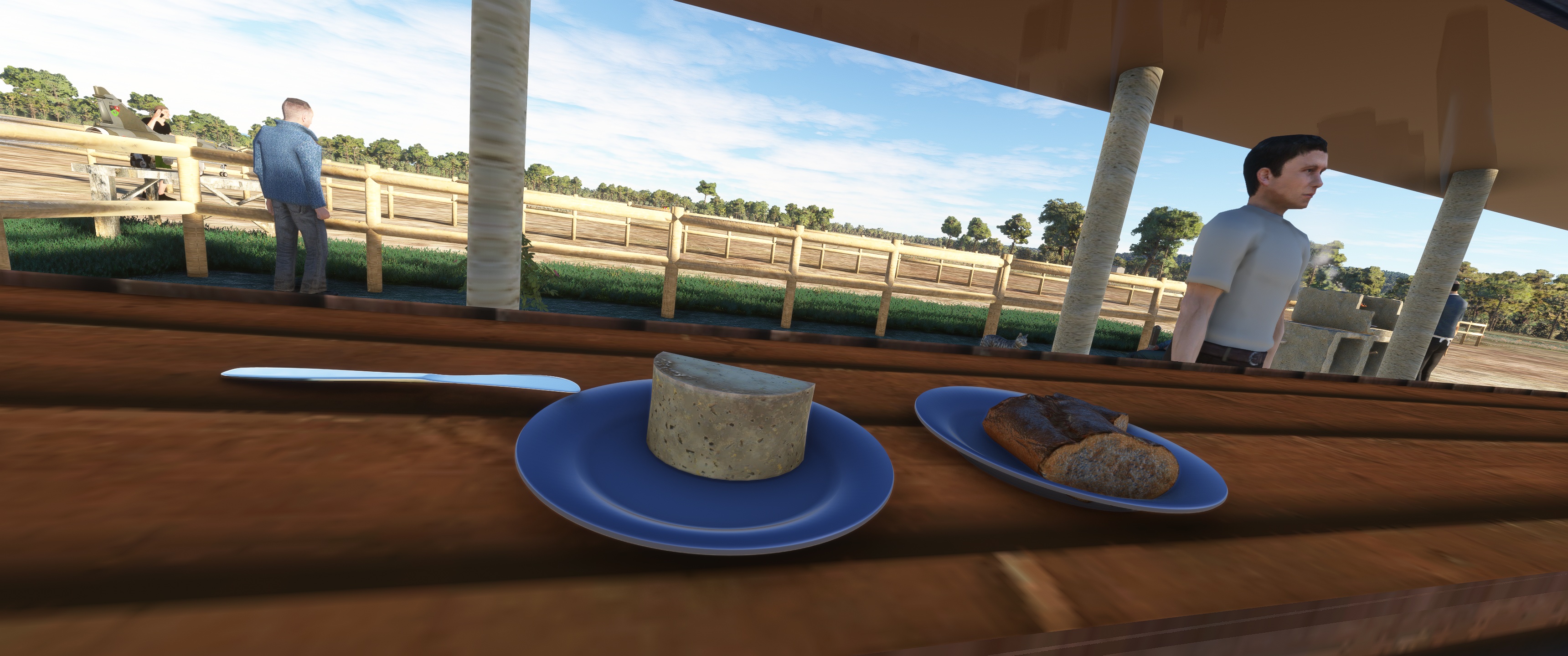
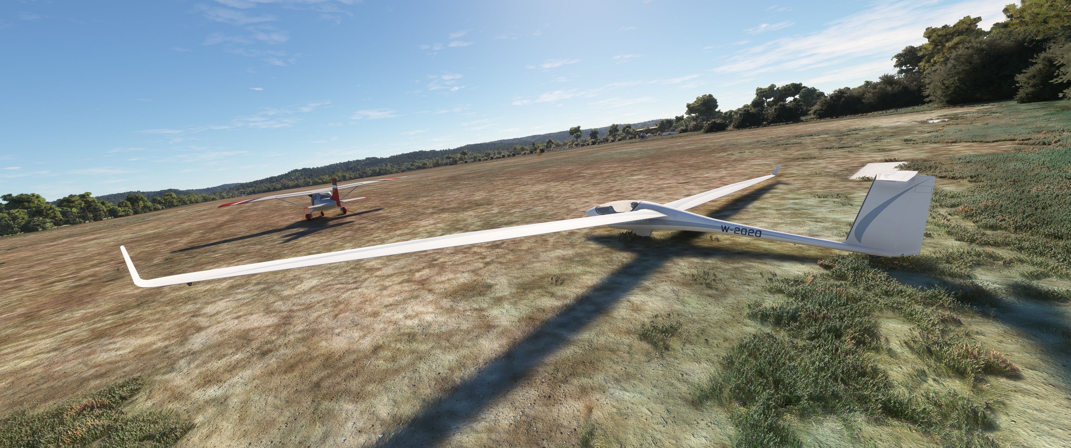
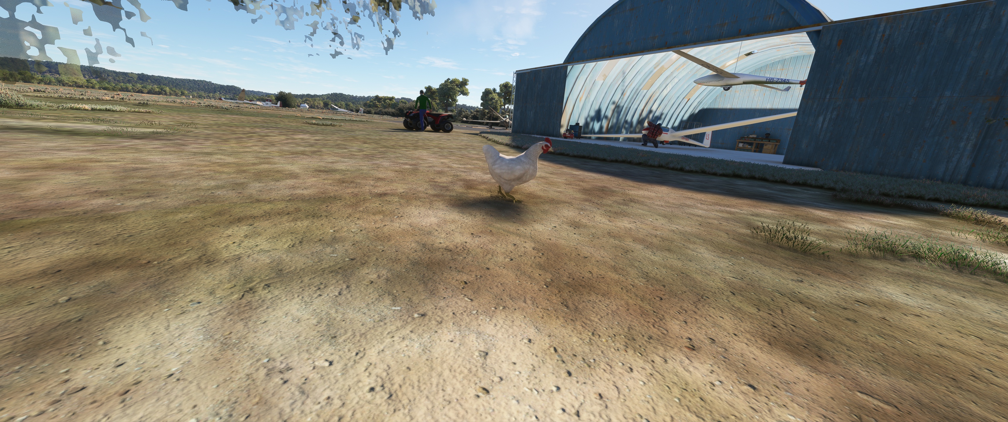
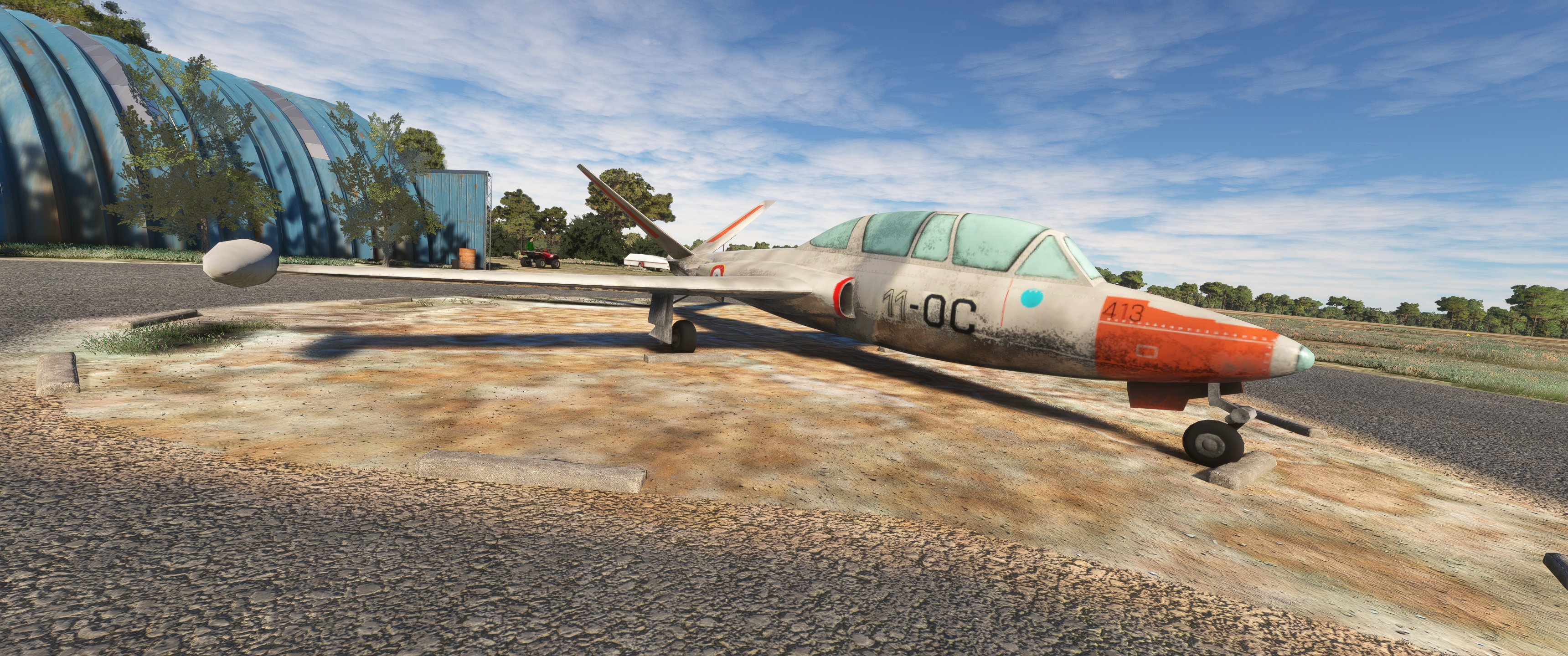
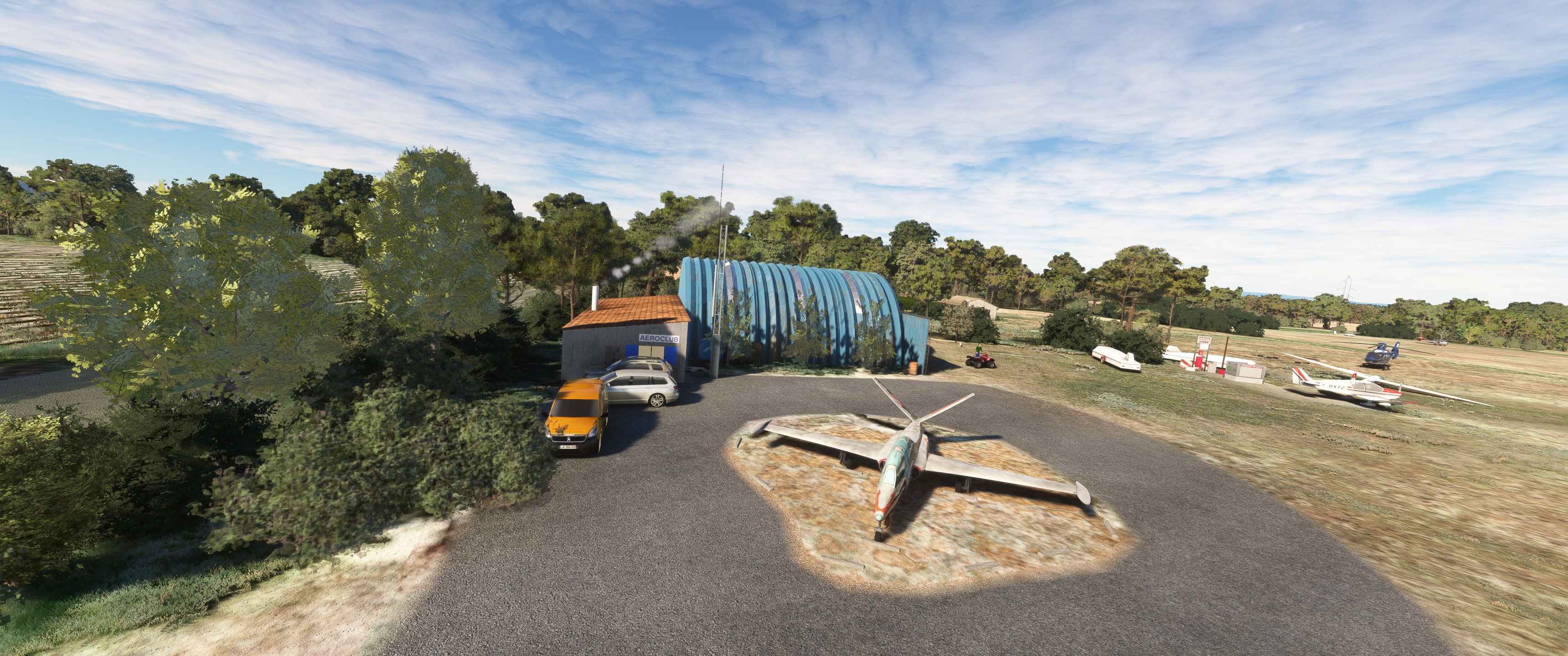
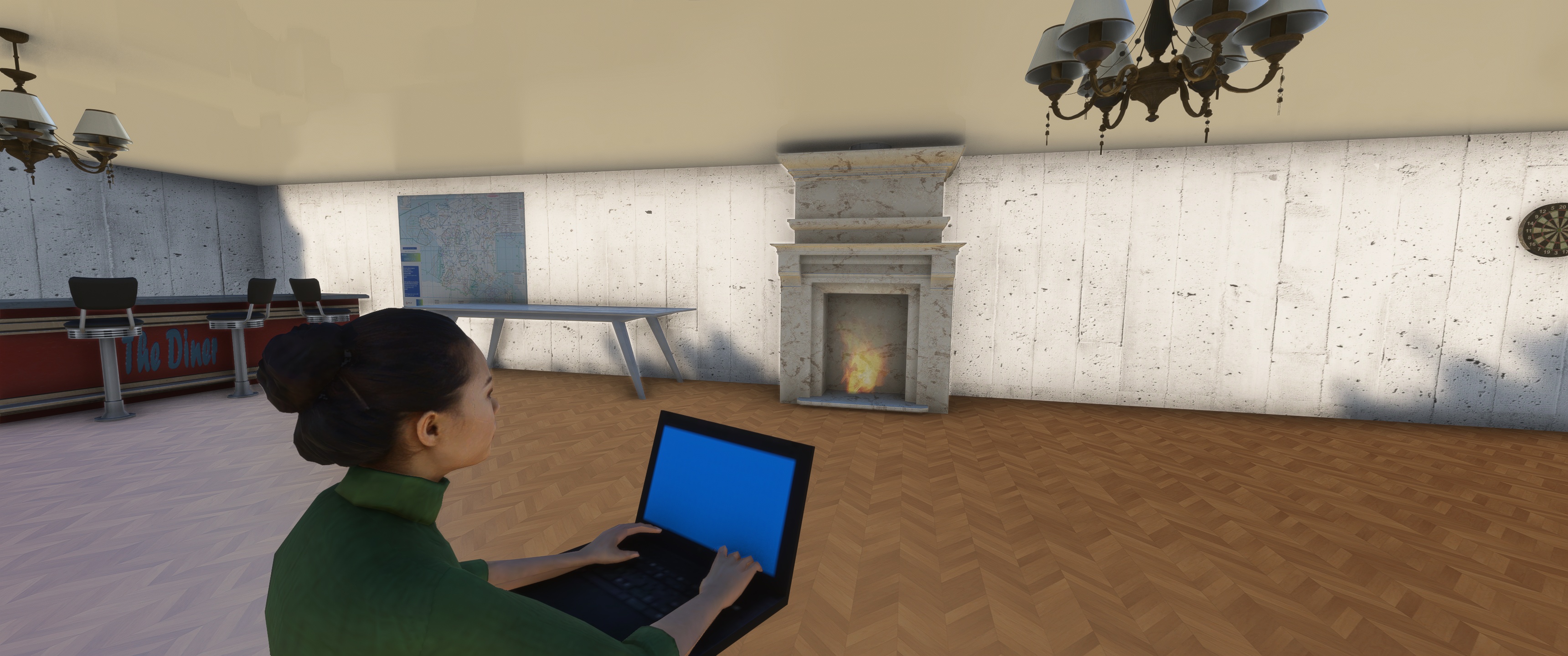
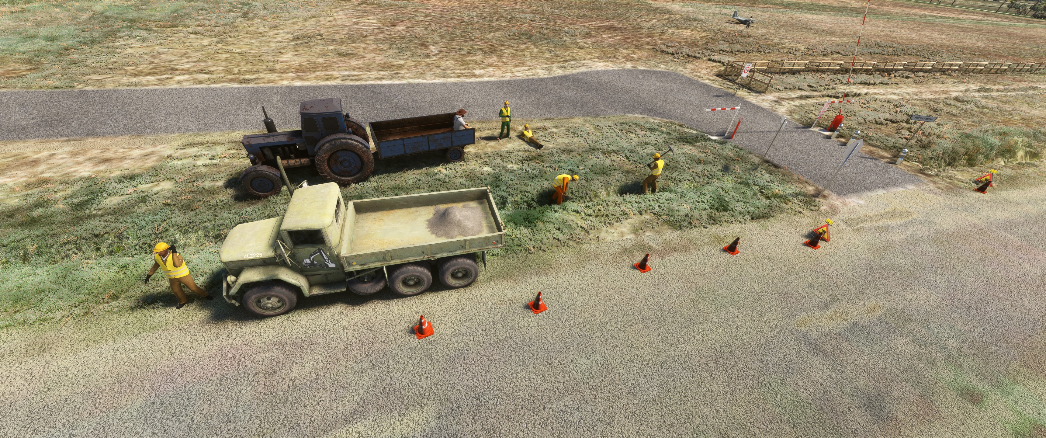
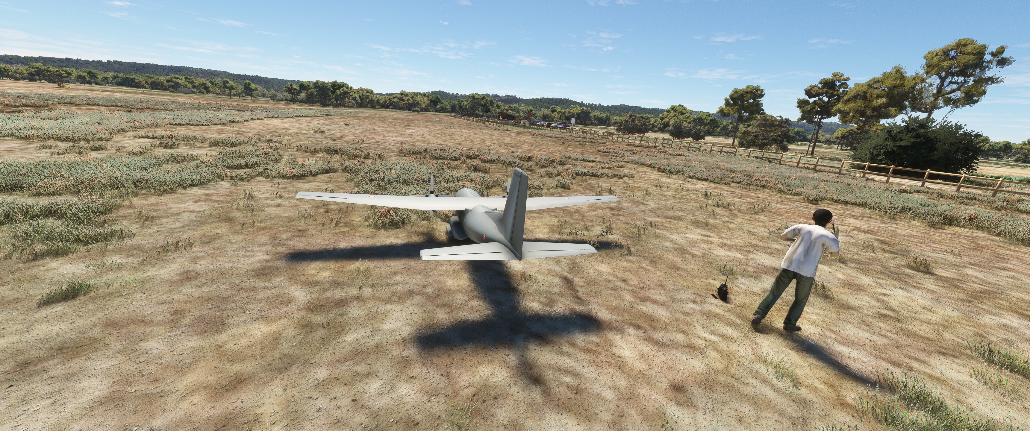
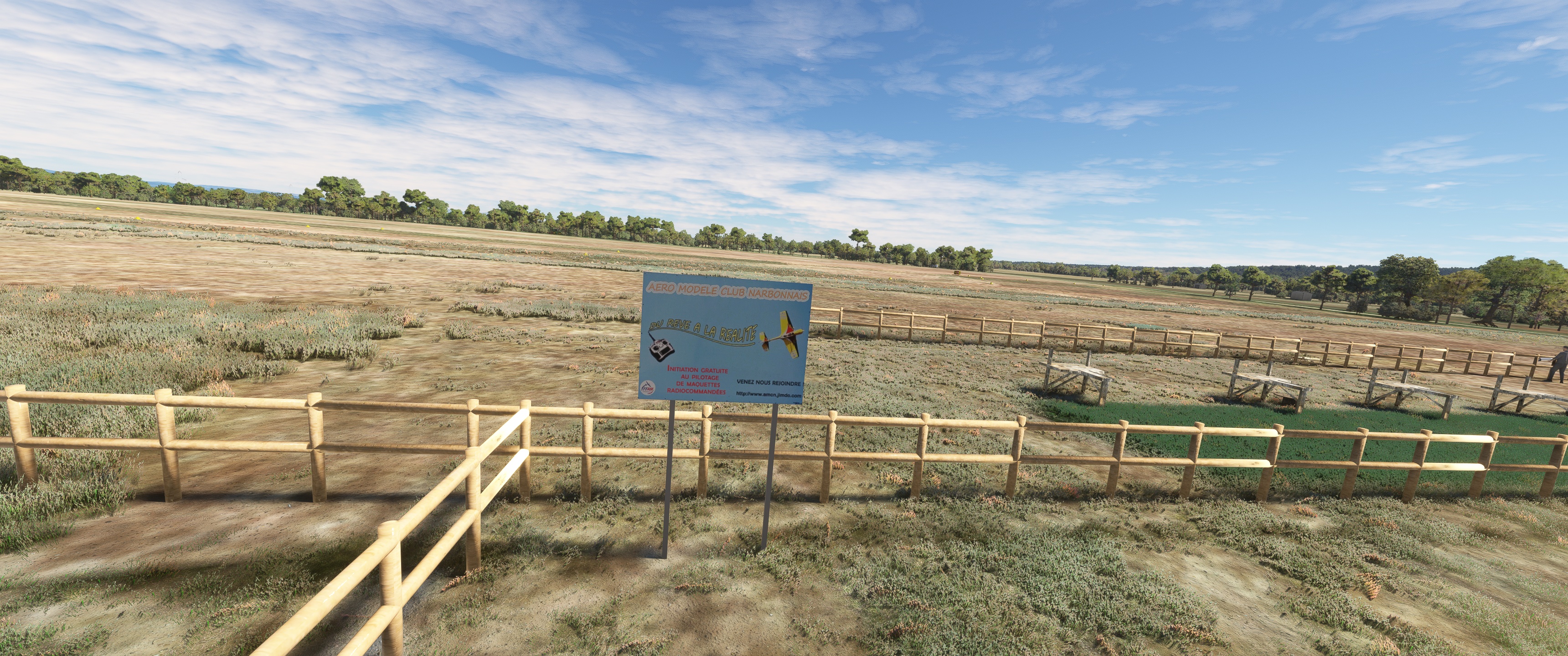
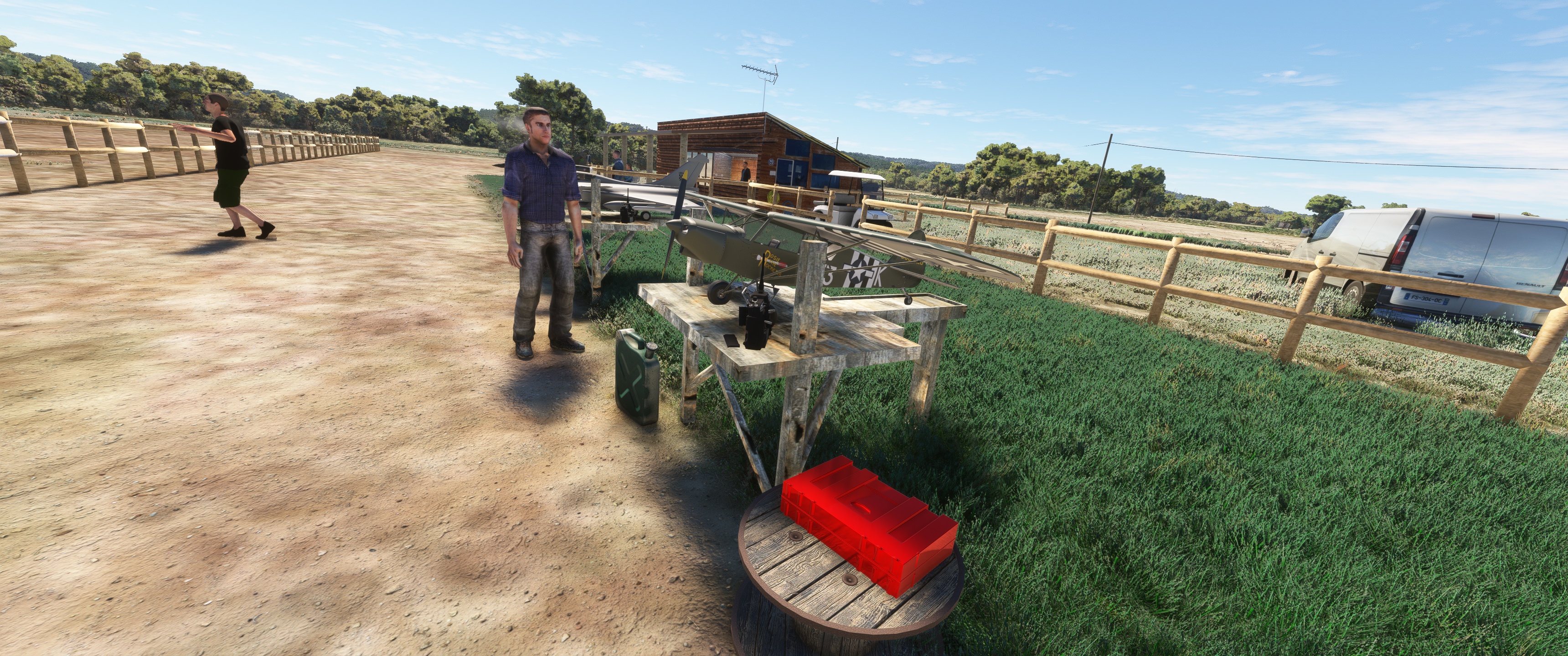
Il est utilisé pour la pratique d’activités de loisirs et de tourisme (aviation légère, vol à voile) ainsi que pour de l'aéromodélisme.
L’aérodrome dispose d'une pistes en herbe orientées est-ouest (10/28), large de 60m et longue de 710m, elle est utilisée aussi bien pour les planeurs que les aéronefs motorisés de passage.
Une bande de dégagement accolée au sud de la piste permet aux planeurs de dégager.
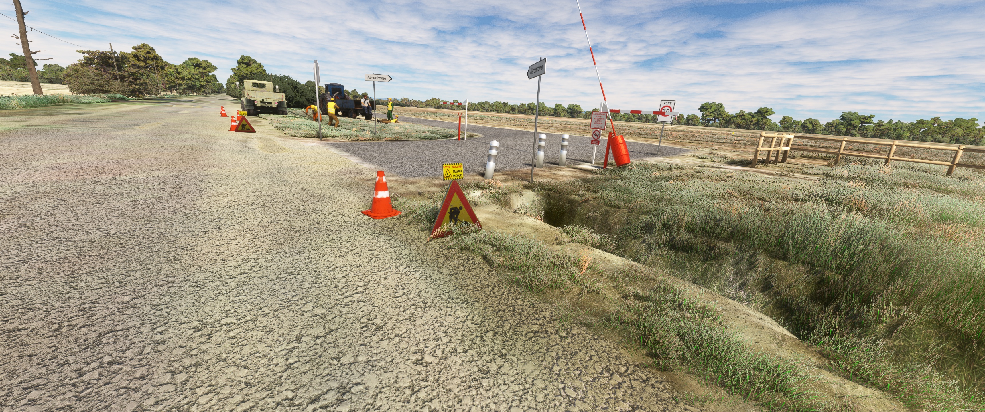
Plus au sud encore, séparé par un fossé de drainage, un taxiway permet de remonter
vers les points d’attente 10 et 28 (voir carte VAC)2.
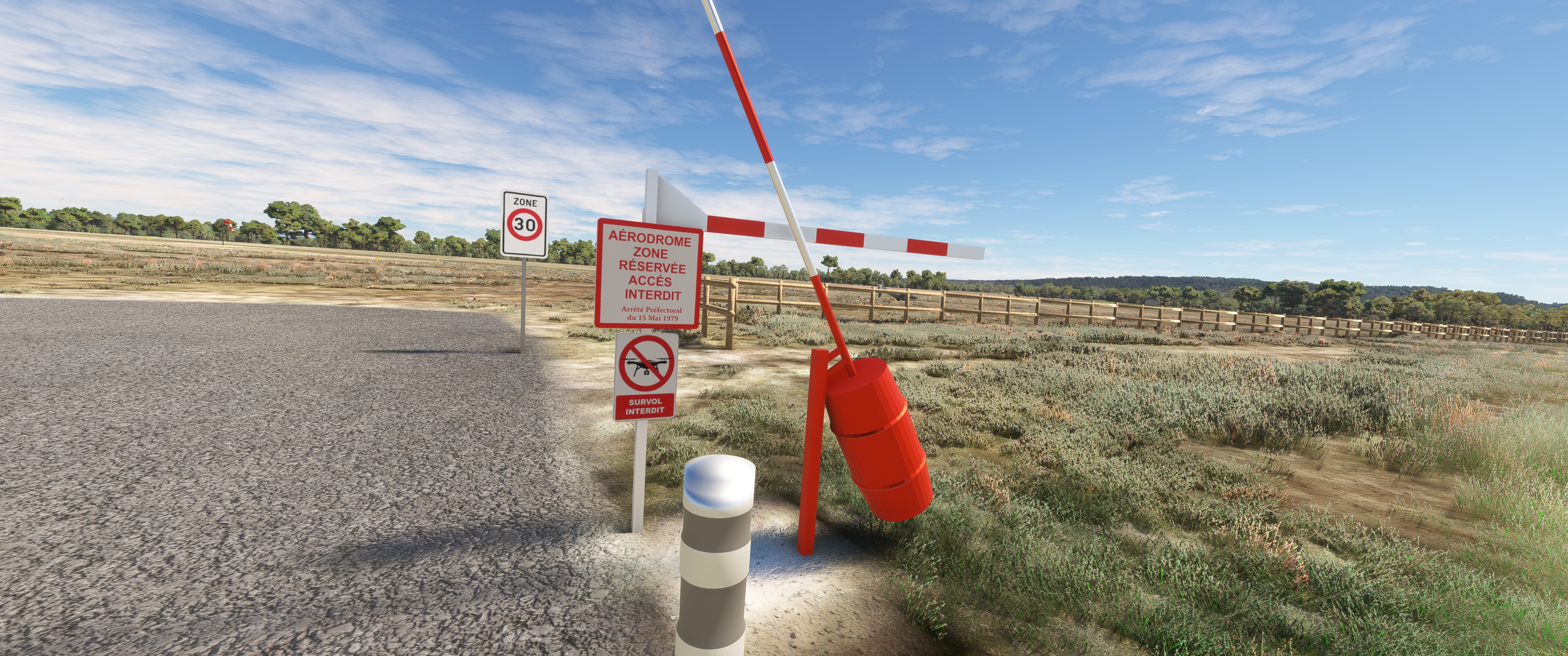
L’aérodrome n’est pas contrôlé. Les communications s’effectuent en auto-information
sur la fréquence de 123,500 MHz.
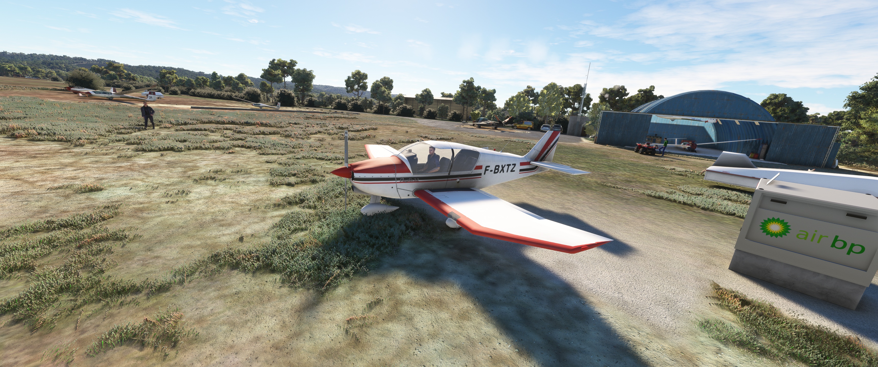
L’avitaillement en carburant (100LL) n'est pas possible sauf cas d'urgence.
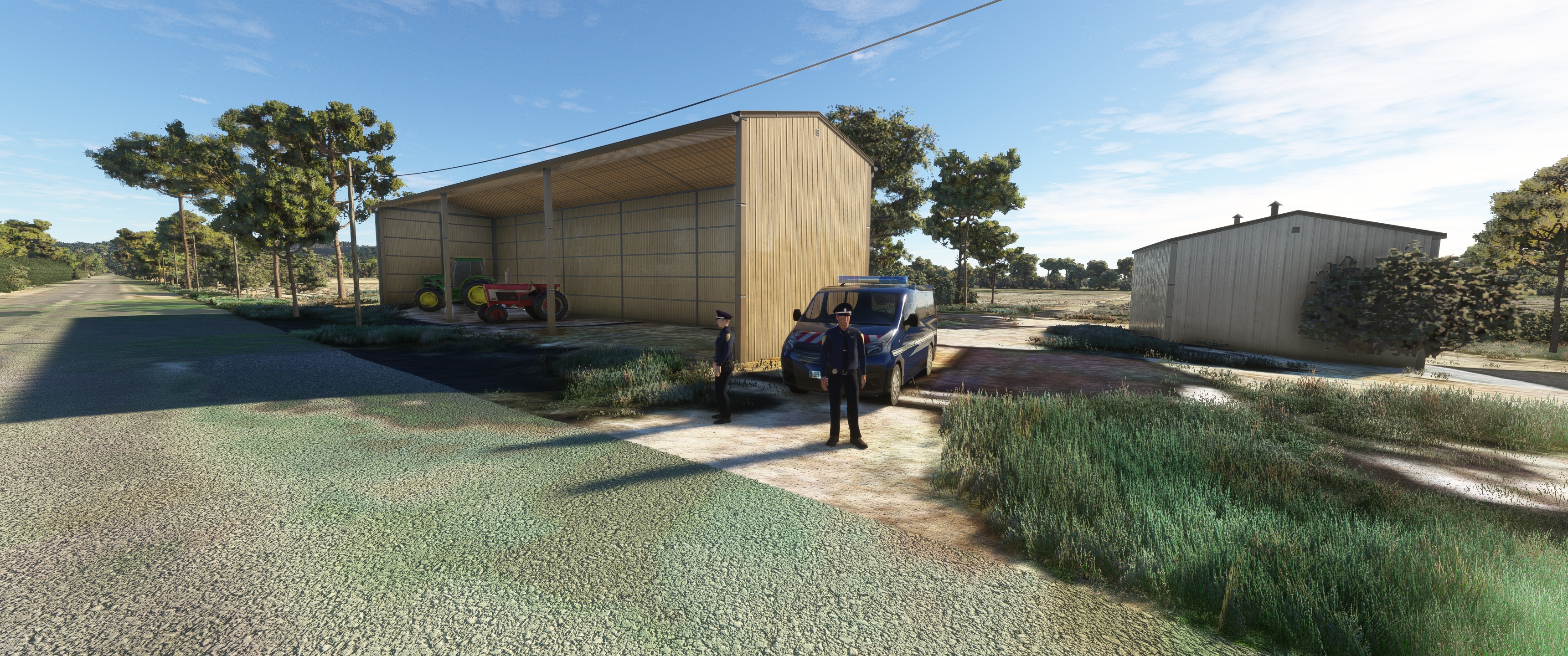
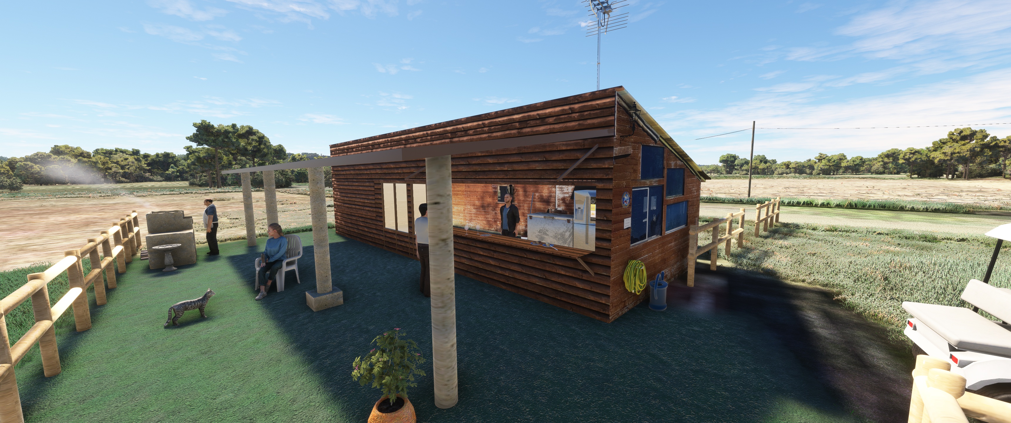
L'activité principale est l'école de pilotage de planeur et moto-planeur.
L'Aéro-club de Narbonne [archive], association loi de 1901, est un DTO (Declared Training Organisation [archive]) agréé par la DGAC pour la formation des pilotes de planeurs et délivre une SPL (Sailplane Pilot Licence [archive]) Européenne. Agrément N° FR.DTO.0078.
Pistes
Direction Longueur Surface
10/28 710 m (2 329 ft) Non revêtue
Altitude 3 m (10 ft)
vous aurez besoin de 5 bibliothèques pour tout voir
Animated Human 3D Models Library
https://fr.flightsim.to/file/33166/animated-humans-library
MSFS PBK Effects Scenery Library
https://flyawaysimulation.com/downloads/files/24887/msfs-pbk-effects-scenery-library/
totof library object V5
https://fr.flightsim.to/file/17179/totof-library-object-v1-1
totof- aircraft library v4
https://fr.flightsim.to/file/17182/totof-aircraft-library-v1-1
Emerald Object Library
https://emeraldscenerydesign.com/
https://fr.flightsim.to/file/8824/emerald-object-library
J'ai choisis comme photo de base satellite Google Maps avec MapEnchancement
si vous l'utilsez pas vous aurez un décalage sur toute les instalations , vous êtes prévenu.
Merci a Mouss d'Occitania pour le partage de ces voitures FR, ColinJ, Michel VP ,Totof ,
Superspud ,OEL, Photosbykev, pour leur bibliothèques
vidéo YouTube https://youtu.be/p9PxKOwG-sA?feature=shared/
laserjet©34 Février/2024
Téléchargement: LFNN-Narbonne
Narbonne-Vinassan aerodrome (ICAO code: LFNN) is an approved aerodrome open to
public air traffic
(after reconnaissance of the airfield with an instructor)1, located 2 km east-north-east of Narbonne
of Narbonne in the Aude department (Occitanie region, France).
It is used for leisure and tourism activities (light aviation, gliding)
as well as for model aircraft.
The airfield has a grass runway running east-west (10/28), 60m wide and 710m long,
It is used for both gliders and passing motorised aircraft.
A clearance strip to the south of the runway allows gliders to clear.
Further to the south, separated by a drainage ditch, a taxiway provides access to
to holding points 10 and 28 (see VAC map)2.
The airfield is not controlled. Communications are self-informational
on the 123.500 MHz frequency.
Refuelling (100LL) is not possible except in emergencies.
The main activity is glider and motorglider pilot training.
The Aéro-club de Narbonne [archive], an association under the law of 1901, is a DTO
(Declared Training Organisation [archive]) approved by the DGAC for glider and
for glider pilot training and issues an SPL
(Sailplane Pilot Licence [archive]). Approval N° FR.DTO.0078
Tracks
Direction Length Surface
10/28 710 m (2,329 ft) Unsurfaced
Altitude 3 m (10 ft)
you'll need 5 libraries to see it all
Animated Human 3D Models Library
https://fr.flightsim.to/file/33166/animated-humans-library
MSFS PBK Effects Scenery Library
https://flyawaysimulation.com/downloads/files/24887/msfs-pbk-effects-scenery-library/
totof library object V5
https://fr.flightsim.to/file/17179/totof-library-object-v1-1
totof- aircraft library v4
https://fr.flightsim.to/file/17182/totof-aircraft-library-v1-1
Emerald Object Library
https://emeraldscenerydesign.com/
https://fr.flightsim.to/file/8824/emerald-object-library
I chose Google Maps with MapEnchancement as my base satellite photo.
if you don't use it you'll have a lag on all installations, you've been warned.
Thanks to Mouss d'Occitania for sharing these FR cars ,ColinJ, Michel VP ,Totof ,
Superspud ,OEL, Photosbykev, for their libraries
laserjet©34 February/2024