LFDS-Sarlat
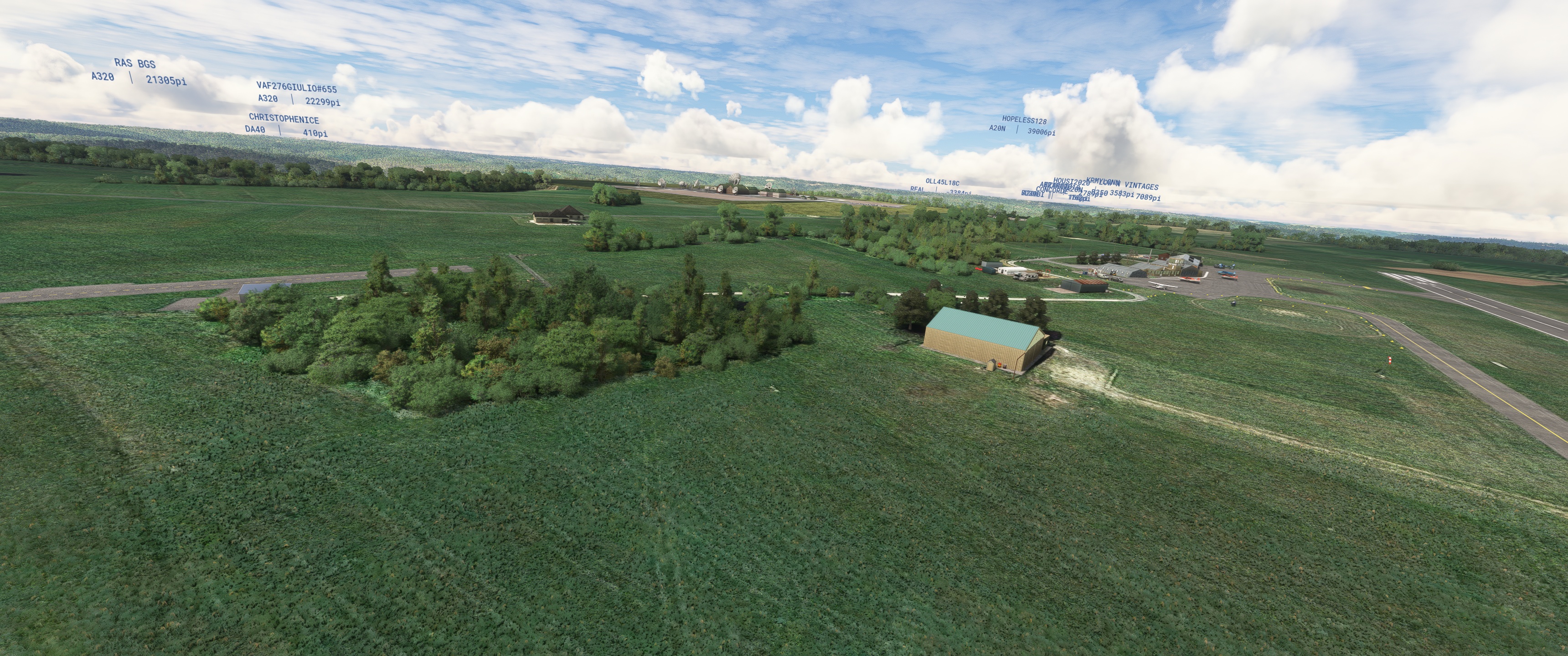
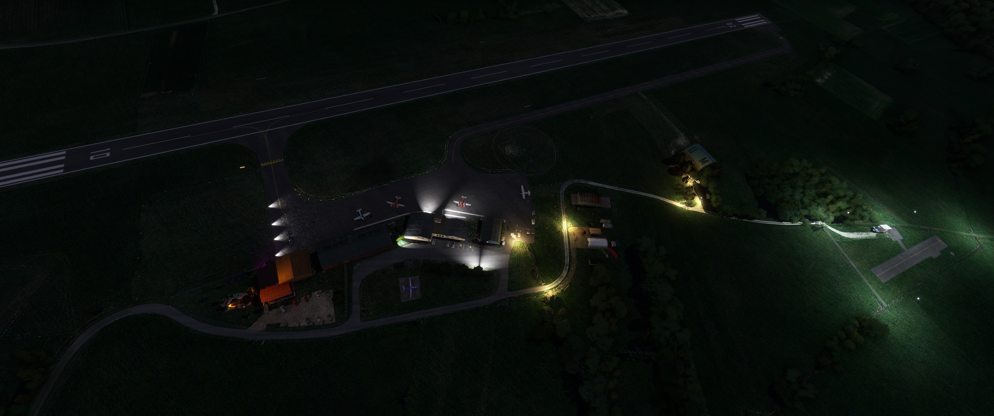
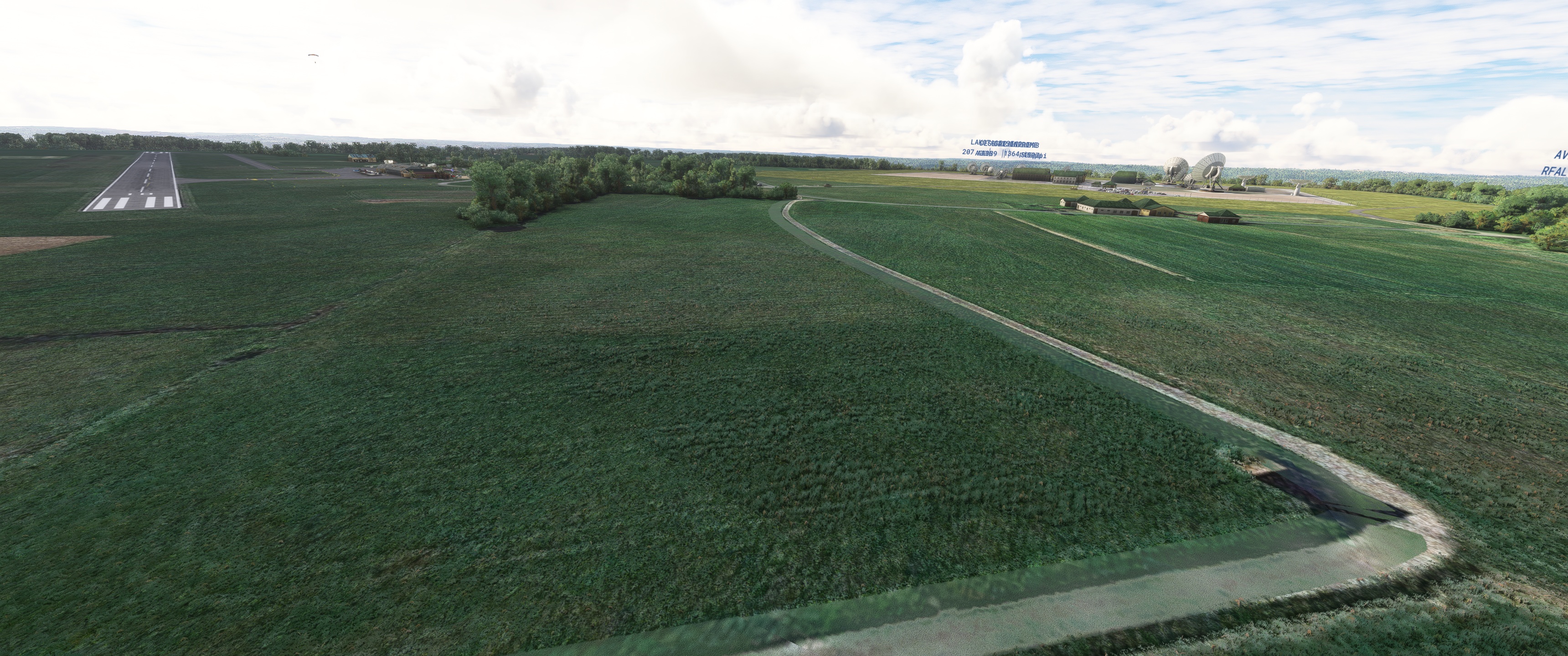
L’aérodrome de Sarlat - Domme (code OACI : LFDS) est un aérodrome civil, ouvert à la circulation aérienne publique (CAP), situé sur la commune de Domme à 11 km au sud de Sarlat-la-Canéda en Dordogne (région Nouvelle-Aquitaine, France).
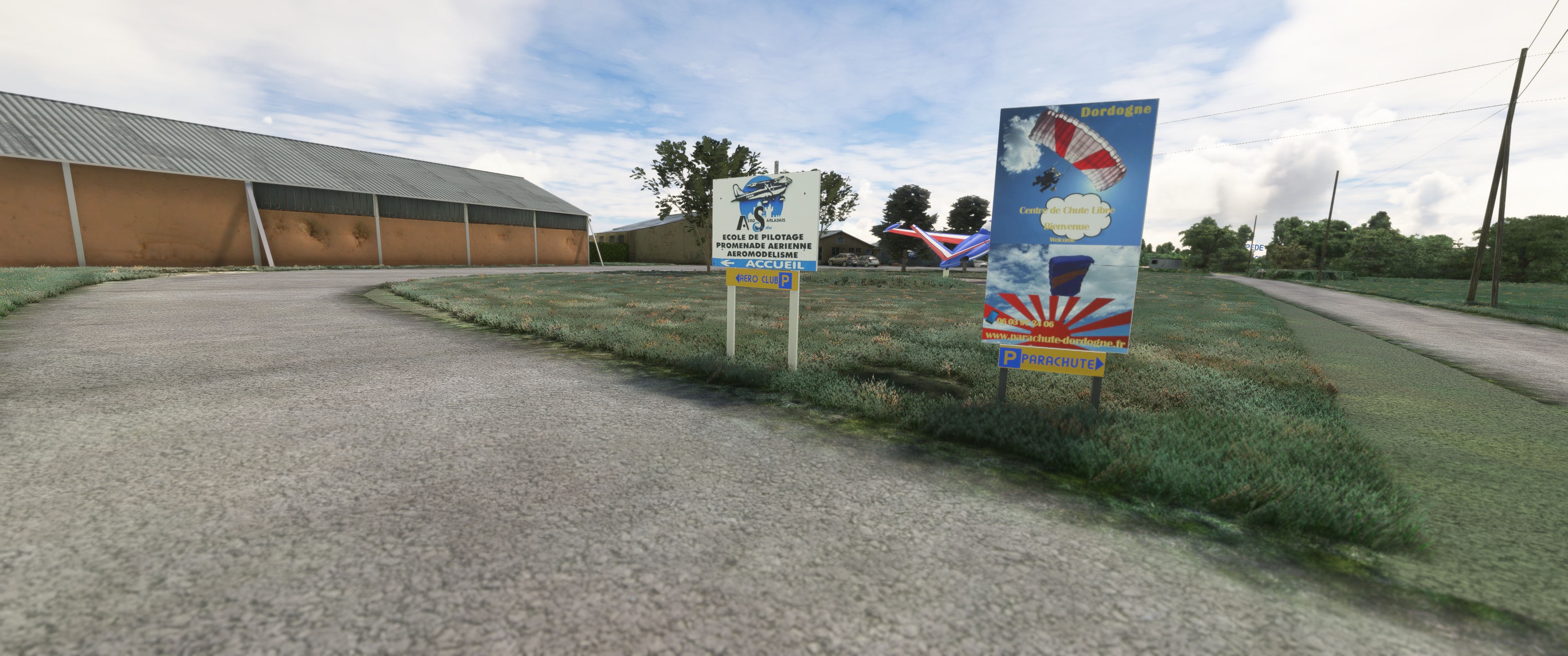
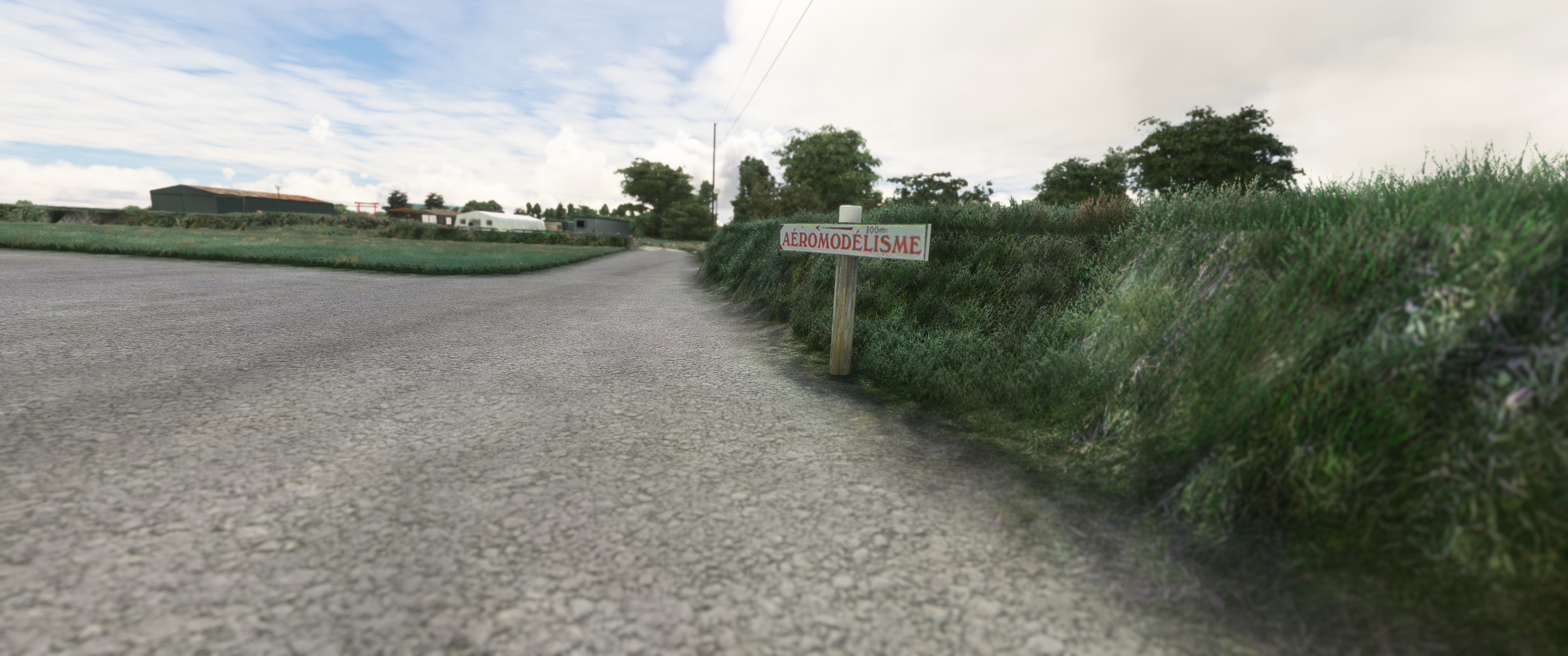
Il est utilisé pour la pratique d’activités de loisirs et de tourisme (aviation légère, aéromodélisme et parachutisme).
L’aérodrome dispose de deux pistes orientées est-ouest (10/28) :
une piste bitumée longue de 747 mètres et large de 20 ;
une piste en herbe longue de 500 mètres et large de 30, accolée à la première et réservée aux ULM.
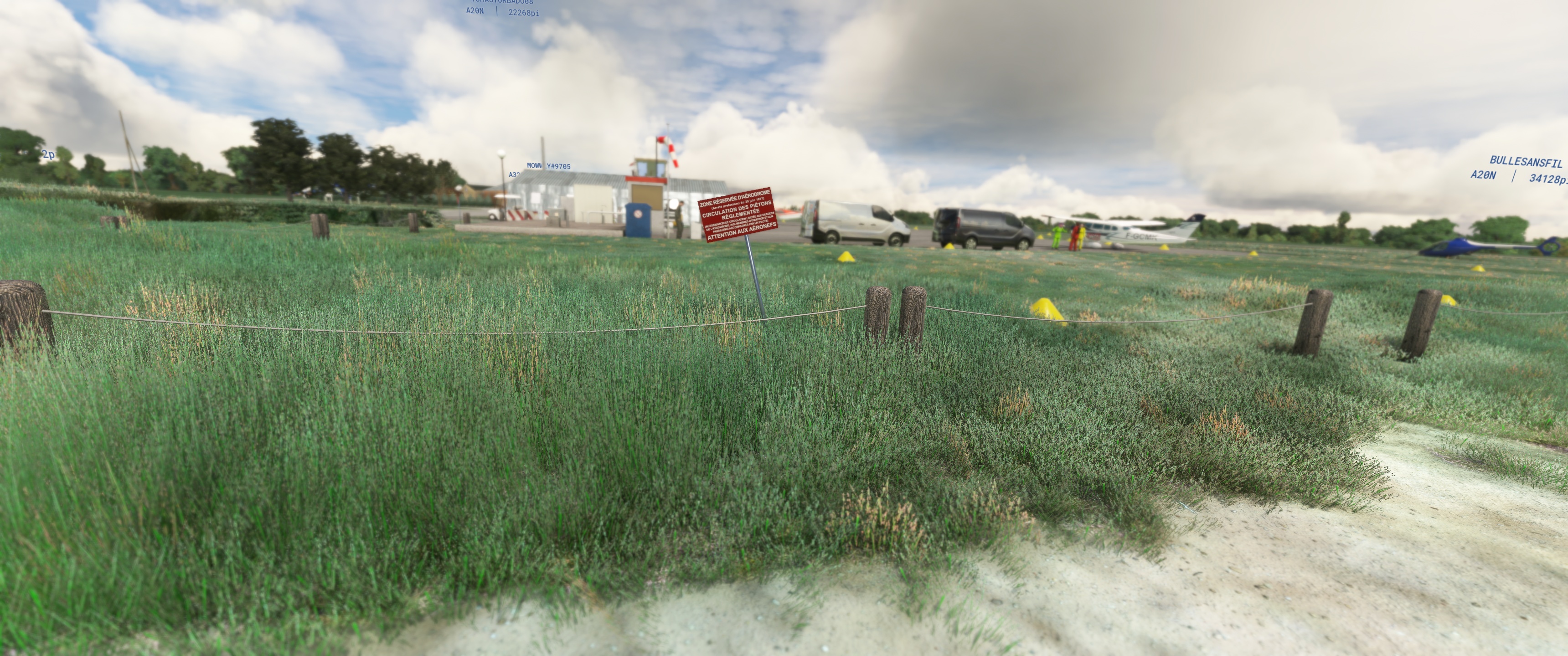
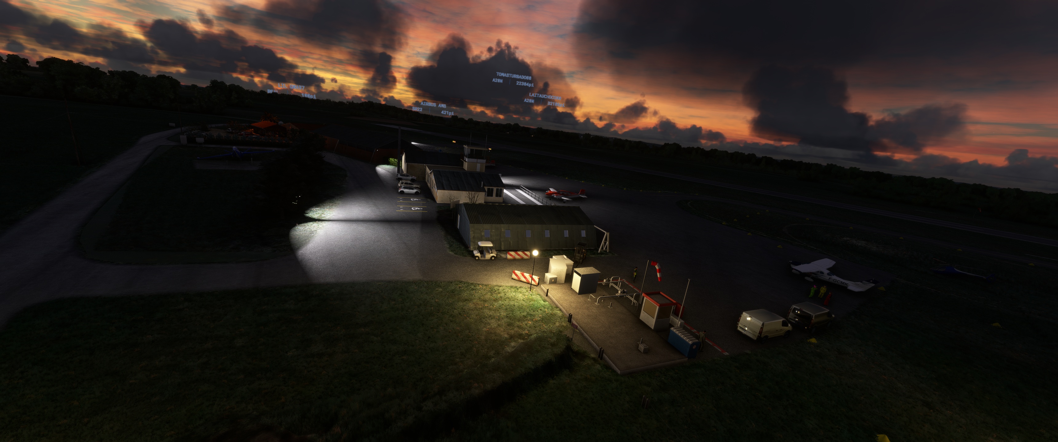
L’aérodrome n’est pas contrôlé. Les communications s’effectuent en auto-information sur la fréquence de 118,150 MHz.
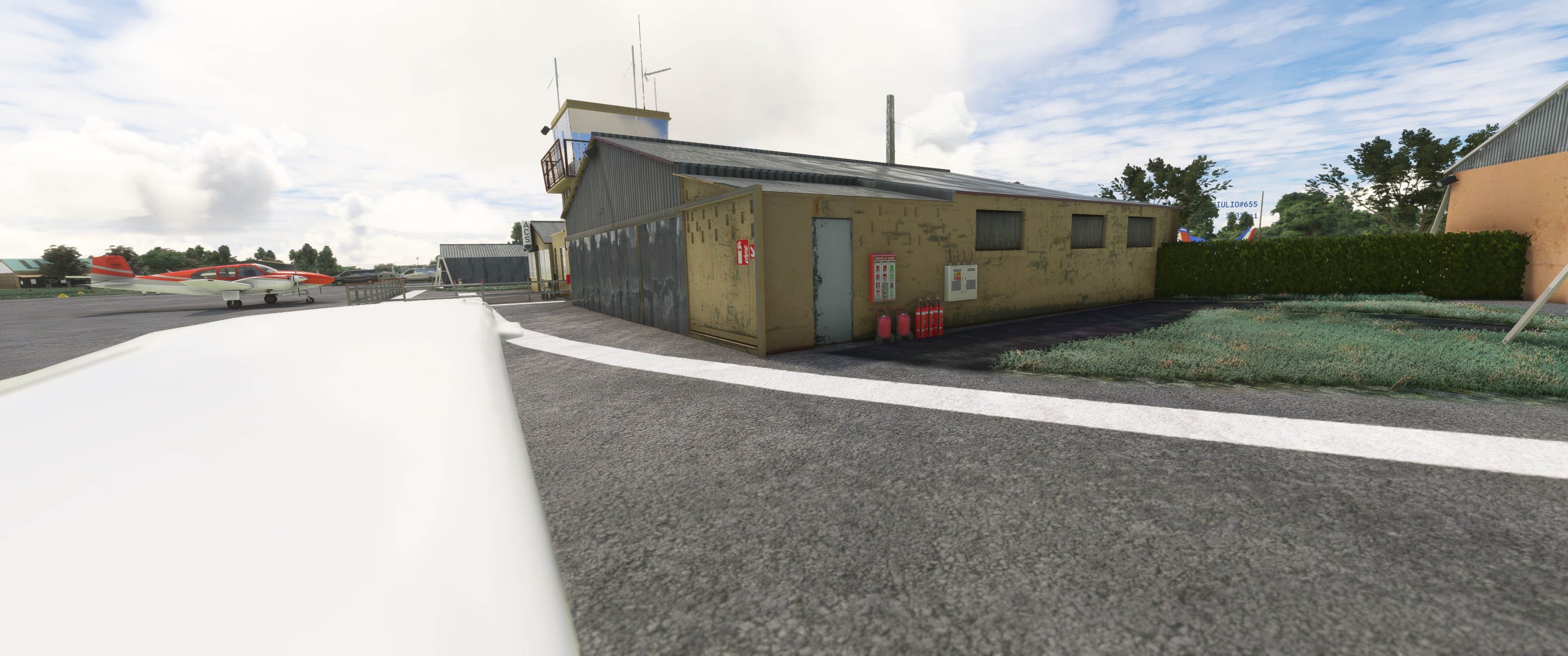
S’y ajoutent :
une aire de stationnement ;
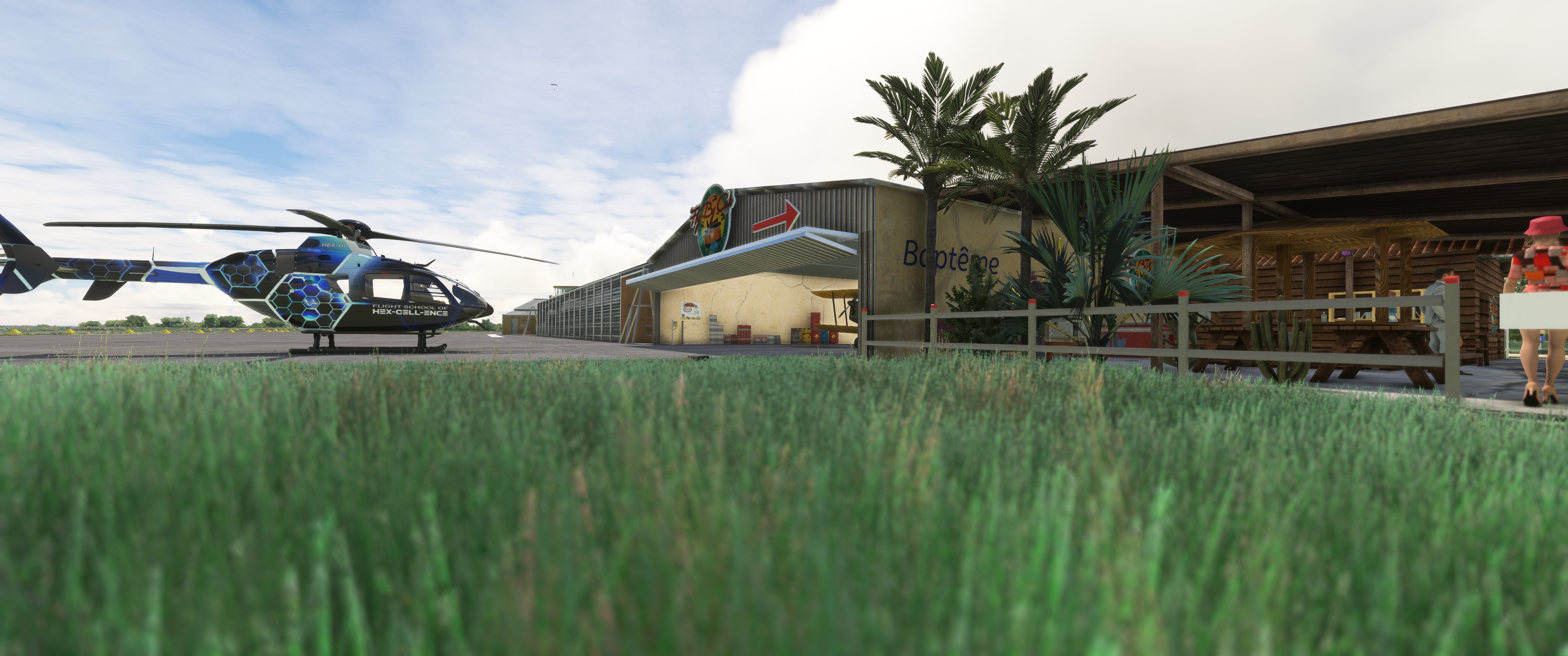
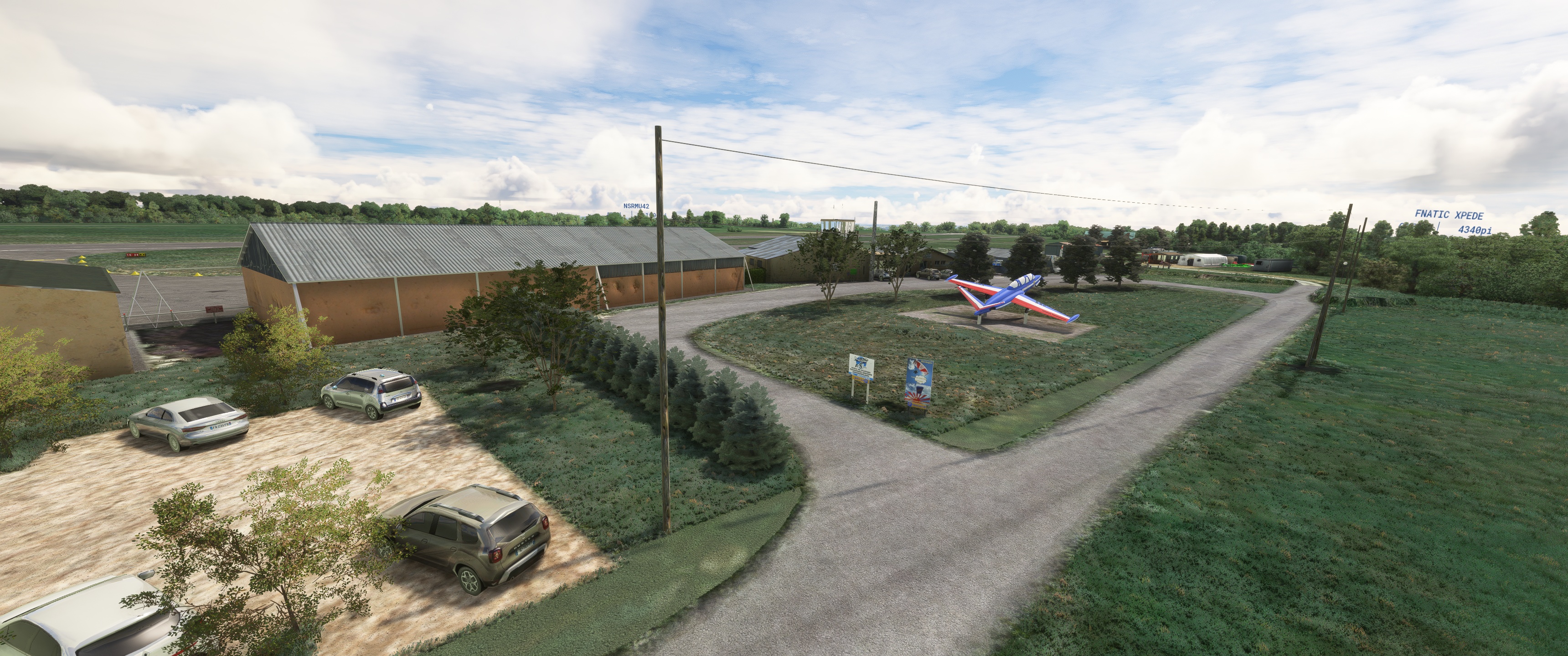
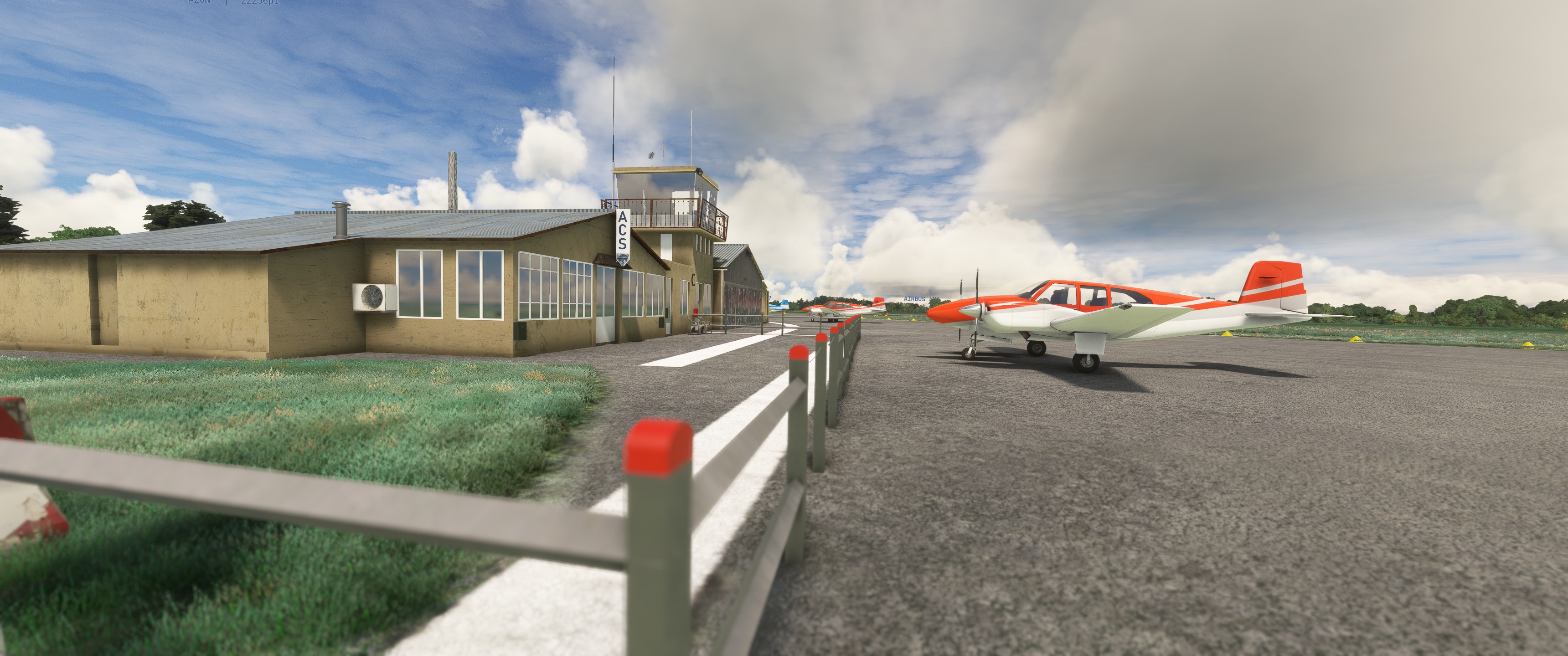
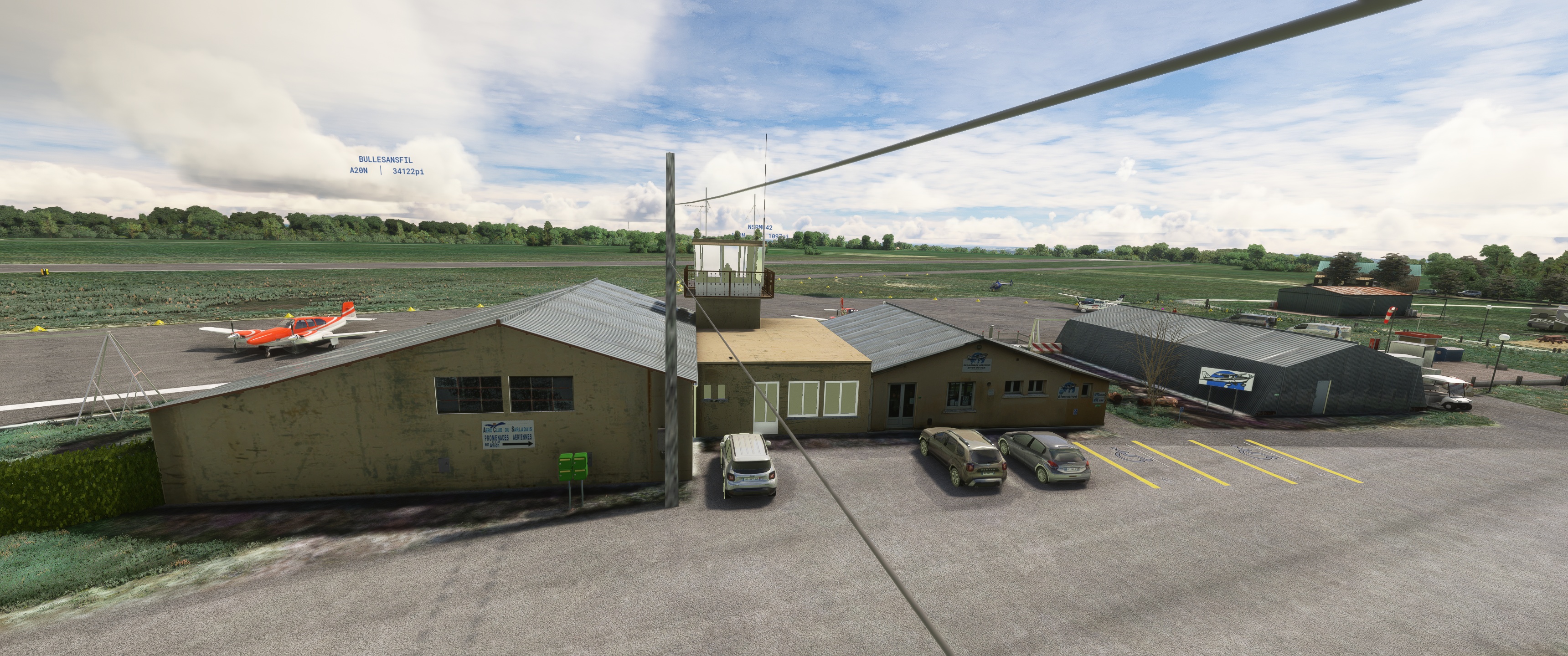
des hangars ;
une station d’avitaillement en carburant (100LL) et en lubrifiant
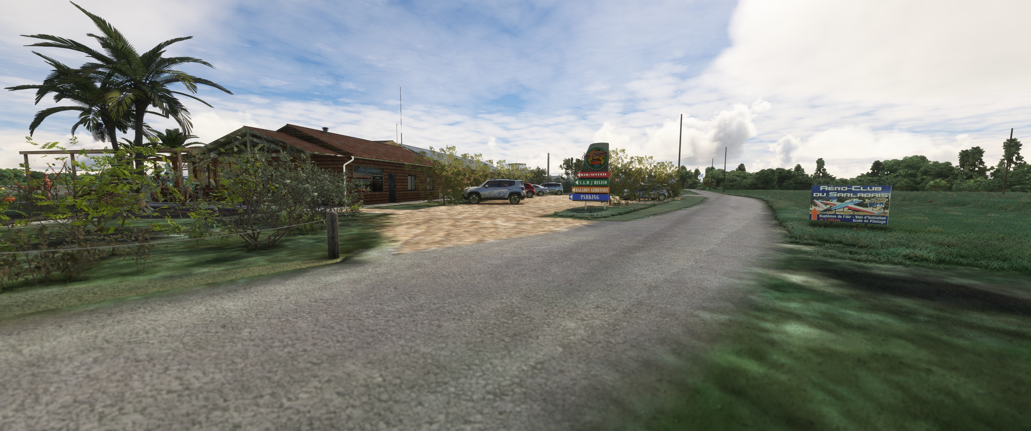
Aéroclub du Sarladais, qui organise, chaque premier dimanche du mois d'août, une fête de l'air.
Parachutisme
Pistes
Direction Longueur Surface
10/28 747 m (2 451 ft) Revêtue
10/28 500 m (1 640 ft) Non revêtue
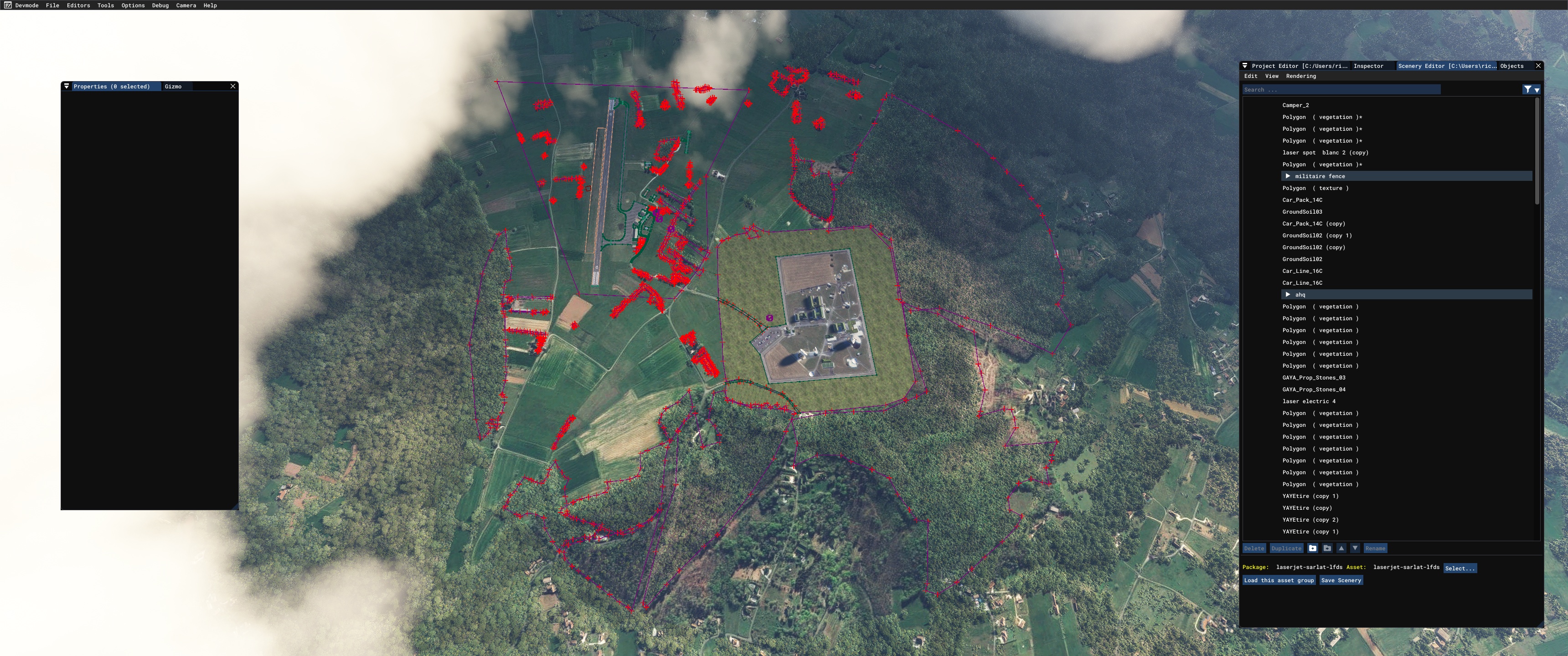
tout a été rasé aux complet ! bâtiments, pistes, taxiways, arbres, végétations, je suis repartis de zéro ! terrassements, exclusions, replantages d'arbres , végétations , pistes, tarmac, tout les bâtiments ont été refait dans blender en essayant de se rapprocher le plus ! merci a Raynald de m'avoir fait des photos récentes côté tarmac
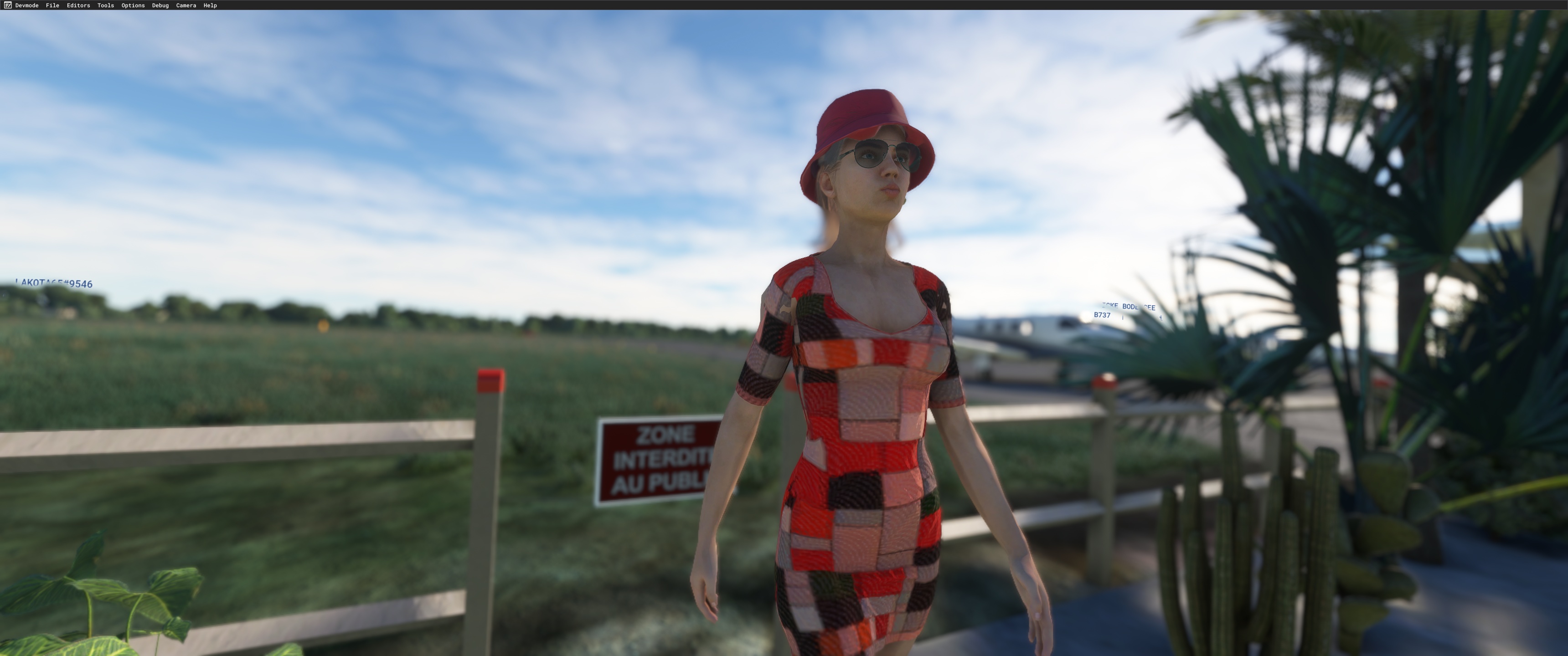
50% des personnages sont crée chez moi avec Character Creator v 4.31.
la scène a été fabriquer avec la base google maps de Map Enhancement car beaucoup mieux que celle de bing après vous êtes libre de faire comme il vous semblent !
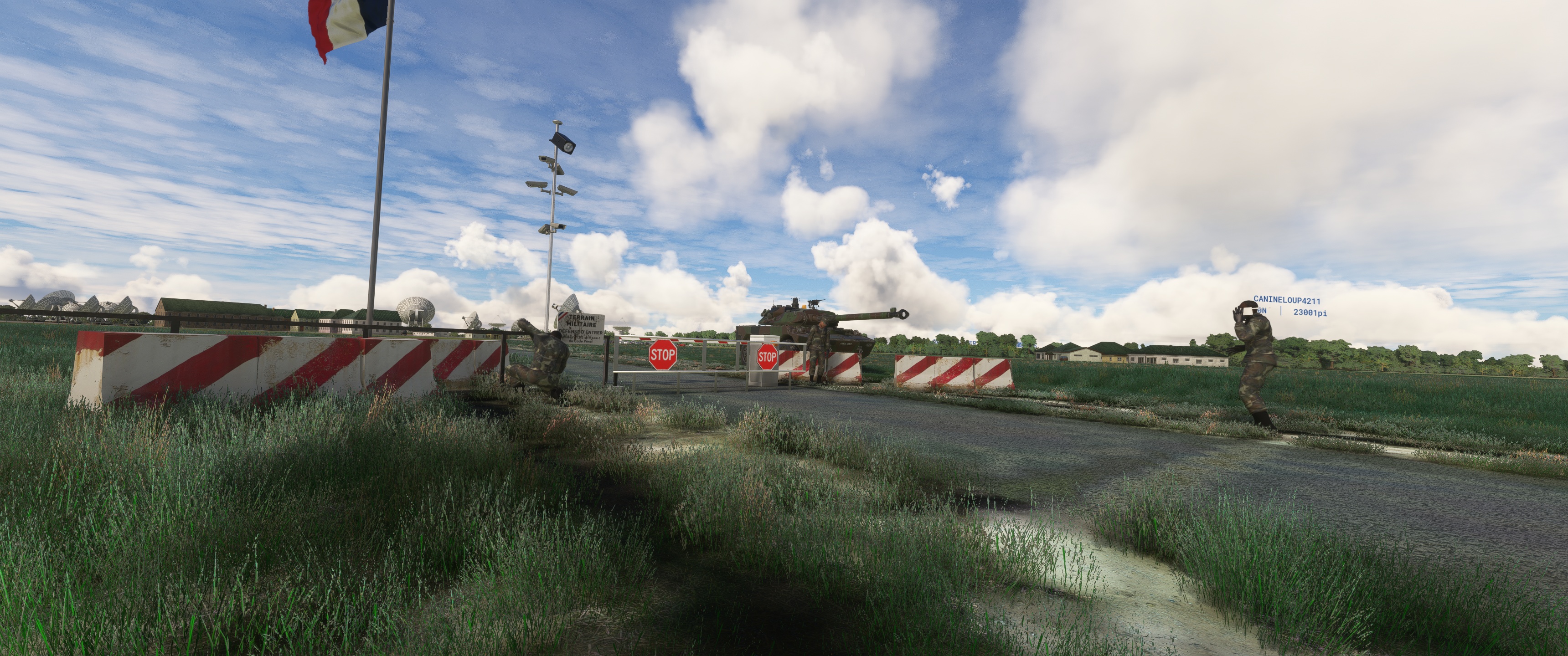
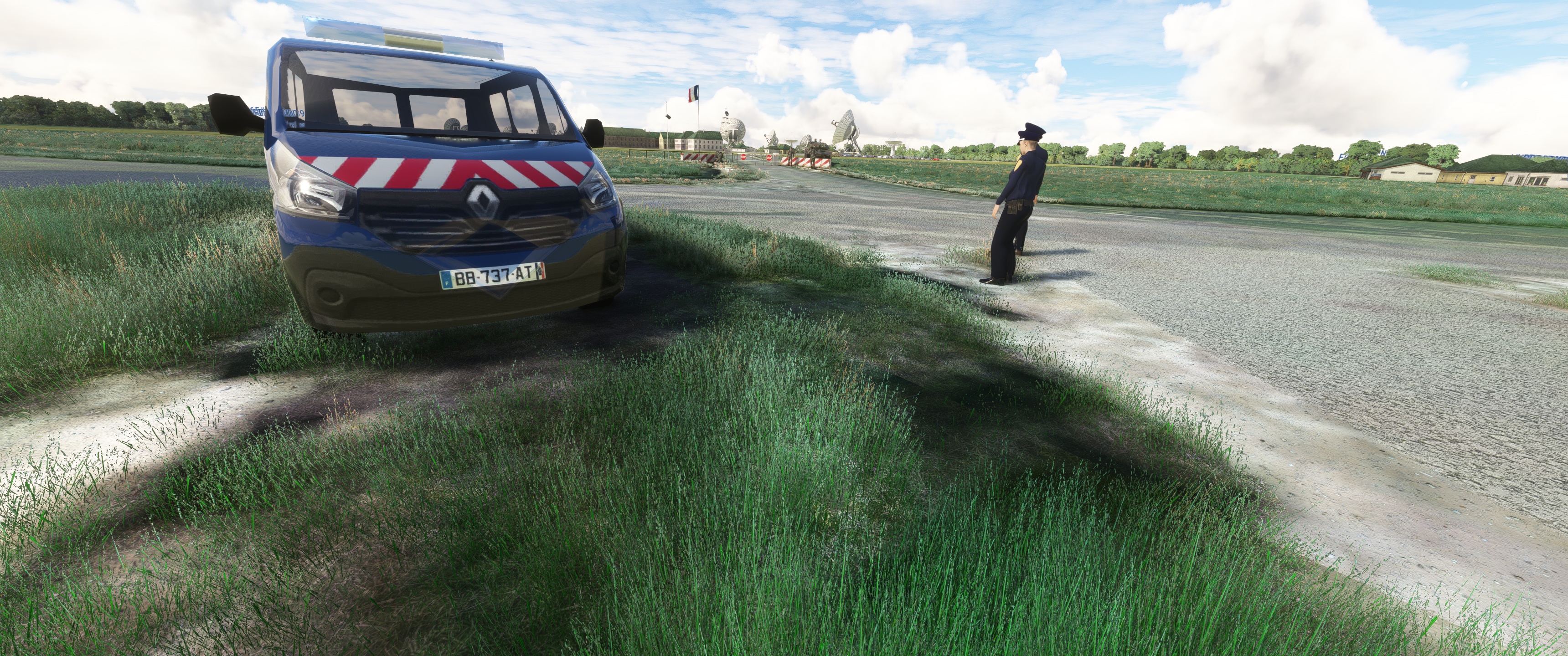
la section Direction Générale de la sécurité Extérieure a été modifier aux minima pour enlever le floutage en carré de toutes les cartes satellite toutes confondus, c'est loins d'être parfait mais c'est un peu mieux que les originaux de bases les antennes Satellite viennent de We Love VFR Region 1.
https://fr.flightsim.to/file/2605/we-love-vfr-region-1
et si vous voulez voir les parachutistes attérir il vous faudra acquérir
EMPURIABRAVA LEAP MSFS
chez FSTO ou Simmarket
AMX 10 RC
https://fr.flightsim.to/file/61001/amx-10-rc
spécial Merci a Mouss d'Occitania pour ces voitures fr, Totof,
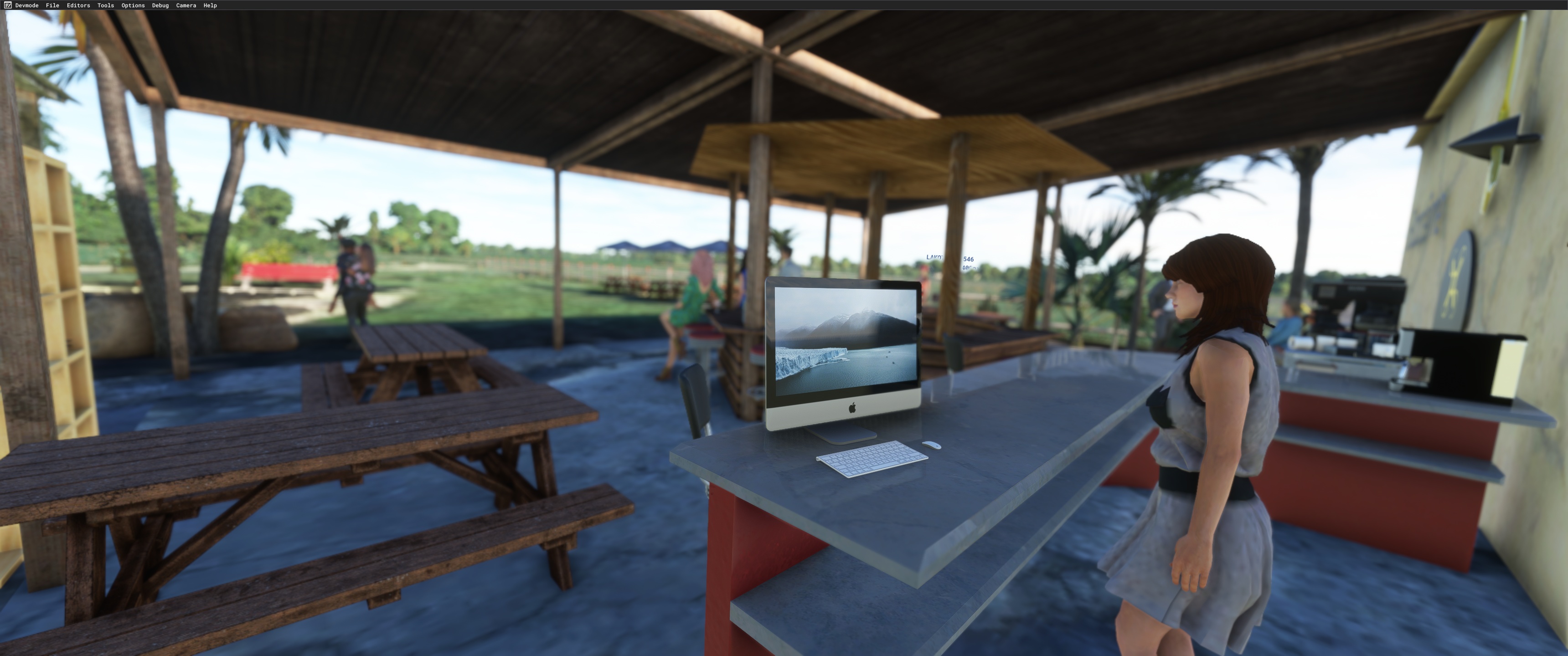
MichelVP, emeraldscenerydesign, superspud pour le partage de leurs travaux vous aurez besoin de trois bibliothèques pour tout voir.
Animated Human 3D Models Library
https://fr.flightsim.to/file/33166/animated-humans-library
totof library object V5
https://fr.flightsim.to/file/17179/totof-library-object-v1-1
Emerald Object Library
https://emeraldscenerydesign.com/
https://fr.flightsim.to/file/8824/emerald-object-library
laserjet©34 décembre/2023
Téléchargement: LFDS-Sarlat
The Sarlat - Domme aerodrome (ICAO code: LFDS) is a civil aerodrome, open to public air traffic (CAP),
located in the commune of Domme, 11 km south of Sarlat-la-Canéda in the Dordogne region (Nouvelle-Aquitaine, France).
It is used for leisure and tourism activities (light aviation, model aircraft and parachuting).
The airfield has two east-west runways (10/28):
a tarmac runway 747 metres long and 20 metres wide ;
a grass runway 500 metres long and 30 metres wide, adjoining the first and reserved for microlights.
The airfield is not controlled. Communications are self-information on the 118.150 MHz frequency.
There is also :
a parking area
hangars ;
a refuelling station for fuel (100LL) and lubricants.
Aéroclub du Sarladais, which organises an air festival on the first Sunday in August.
Skydiving
Runways
Direction Length Surface area
10/28 747 m (2 451 ft) Surfaced
10/28 500 m (1 640 ft) Unsurfaced
everything was razed to the ground! buildings, runways, taxiways, trees, vegetation,
I started from scratch! earthworks, exclusions, tree replanting, vegetation, runways,
tarmac, all the buildings were redone in blender trying to get as close as possible!
thanks to Raynald for taking recent photos of the tarmac side.
50% of the characters are created at home with Character Creator v 4.31
the scene was made with the google maps base of Map Enhancement because much better than the one of bing after you
are free to do as you please!
The Direction Générale de la Sécurité Extérieure section has been minimally modified to remove the square blurring from all the satellite maps.
satellite maps of all kinds, it's far from perfect but it's a bit better than the basic originals
the satellite dishes are from We Love VFR Region 1
https://fr.flightsim.to/file/2605/we-love-vfr-region-1
and if you want to see the parachutists land you'll need to buy
EMPURIABRAVA LEAP MSFS
from FSTO or Simmarket
AMX 10 RC
https://fr.flightsim.to/file/61001/amx-10-rc
Special thanks to Mouss d'Occitania for these cars fr, Totof,
MichelVP, emeraldscenerydesign, superspud for sharing their work
you'll need three libraries to see everything
Animated Human 3D Models Library
https://fr.flightsim.to/file/33166/animated-humans-library
totof library object V5
https://fr.flightsim.to/file/17179/totof-library-object-v1-1
Emerald Object Library
https://emeraldscenerydesign.com/
https://fr.flightsim.to/file/8824/emerald-object-library
laserjet©34 december/2023
_______________________________________________________________________________________________________________________________