LFDY aérodrome de Bordeaux - Yvrac
L’aérodrome de Bordeaux - Yvrac (code OACI : LFDY) est un aérodrome agréé à usage restreint1,
situé sur la commune d’Yvrac à 7 km au nord-est de Bordeaux dans la Gironde (région Nouvelle-Aquitaine, France).
Il est utilisé pour la pratique d’activités de loisirs et de tourisme (aviation légère et aéromodélisme).
Altitude 74 m (244 ft)
Téléchargement: LFDY aérodrome de Bordeaux - Yvrac
laserjet©2023
Aérodrome de Bordeaux - Yvrac V 1.0
History
In 1936, Dr Seynat, president of the GTBA, was looking for land on the right bank of Bordeaux
to supplement the land on the left bank (Croix d'Hins, Beau Désert, Mérignac), landed with Mr Leroy
in Yvrac on a piece of farmland. After reaching an agreement with its owner, Mr Mackertich, the land
the land was leased and became an aeronautical platform with a North-South orientation of 600 m.
During the 39/45 war, the land was occupied by the German army, who built a blockhouse
a blockhouse and machine-gun mountings.
After the war, the destruction of the machine gun mountings and the blockhouse meant that the site could be restored to its former glory.
made it possible to resume aeronautical activities with only 450 m of runway.
The development of the site was made possible thanks to the intervention of the air bases
paratroopers and with the help of Dr Auriac, construction of the hangar
the construction of the 40 m x 20 m hangar, the clearing of more than 150 trees, and the work of cleaning up and
the ground. The track changed direction and became a 29/11 in 1951.
As for the club house, it was built thanks to the involvement and participation
The completed facility was inaugurated on 14 November 1954,
in the presence of the mayor of Yvrac, Anatole Blaise, and under the honorary presidency of Jacques Chaban Delmas,
then Minister for Transport and Mayor of Bordeaux.
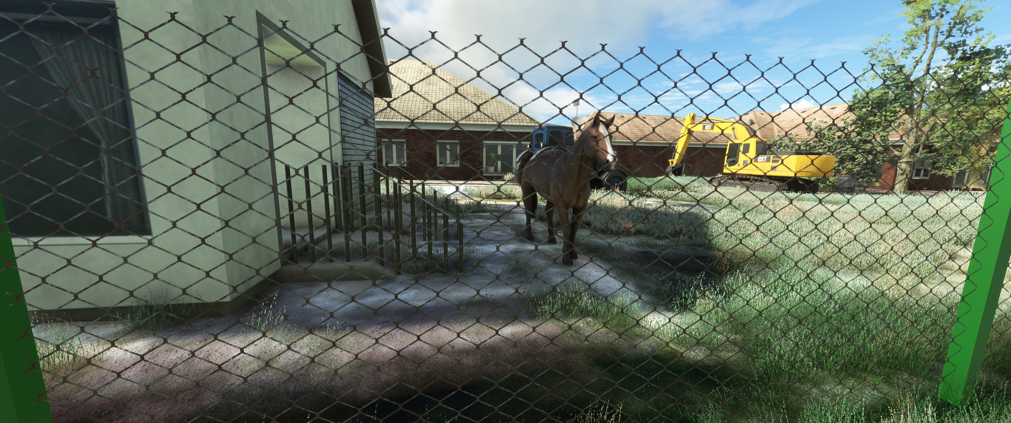
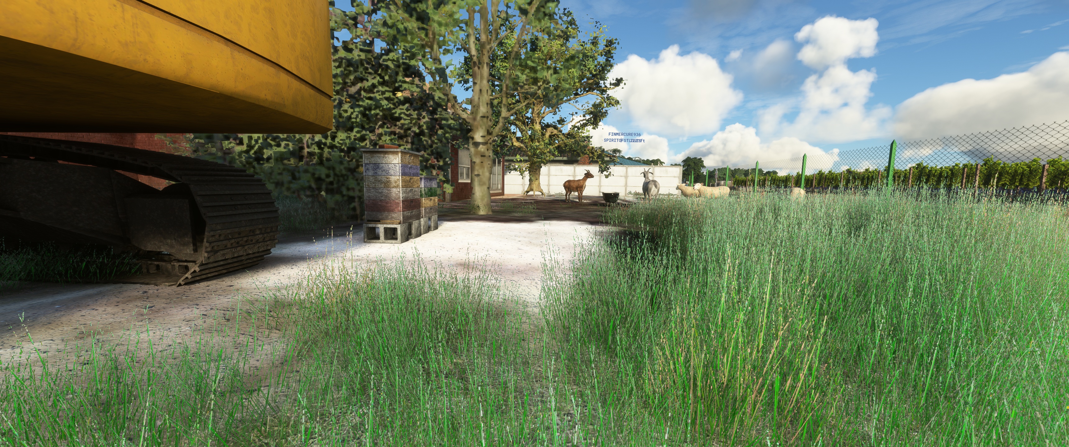
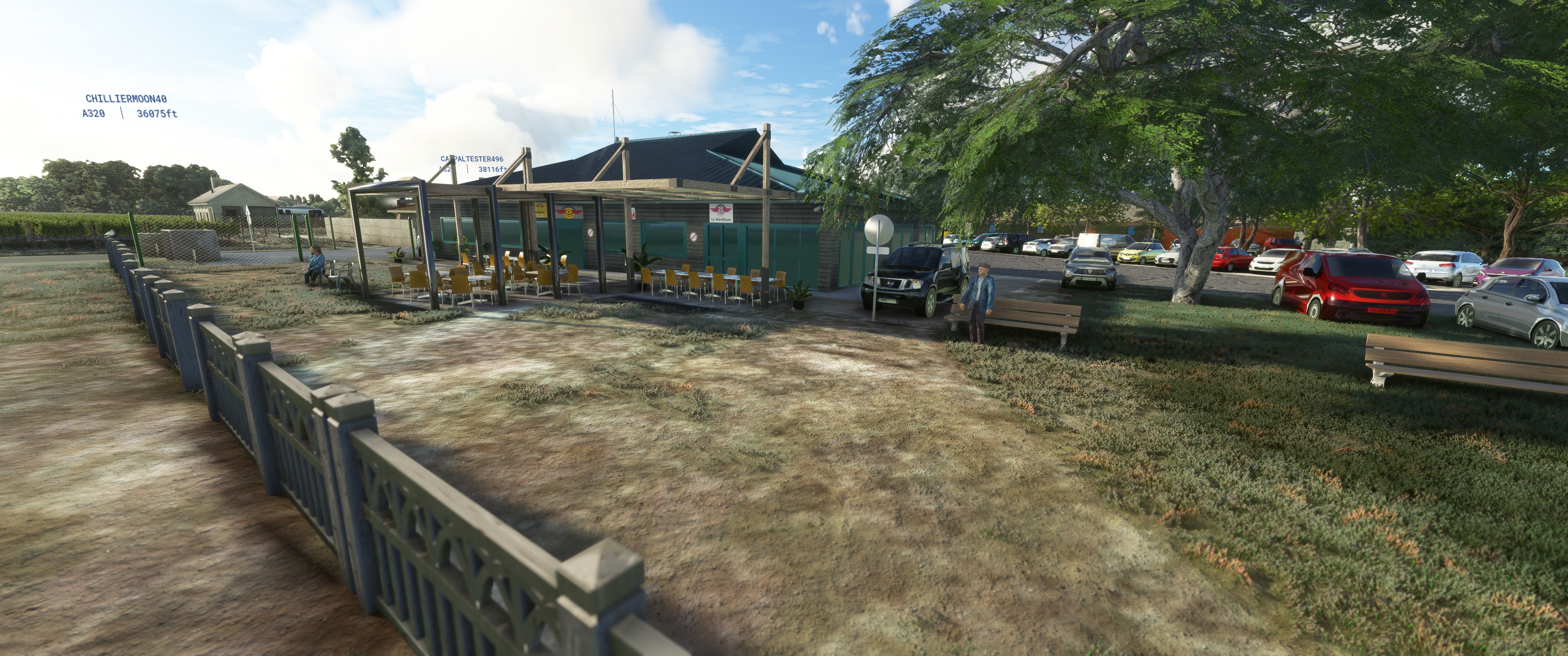
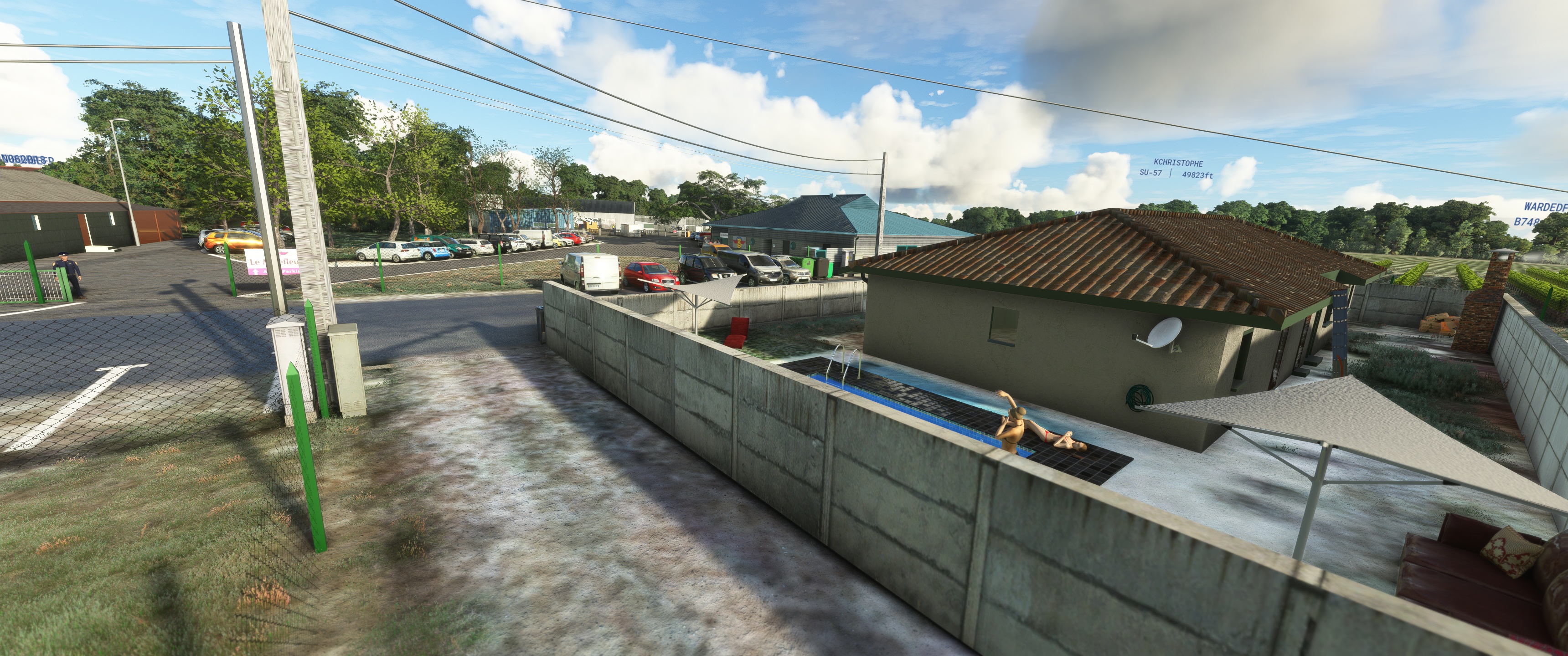
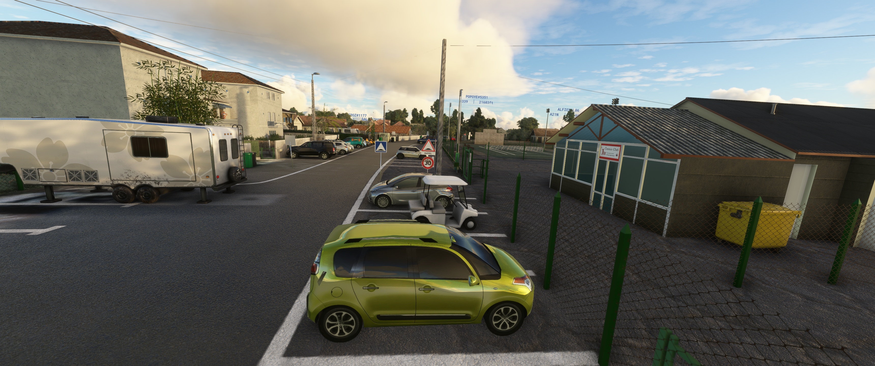
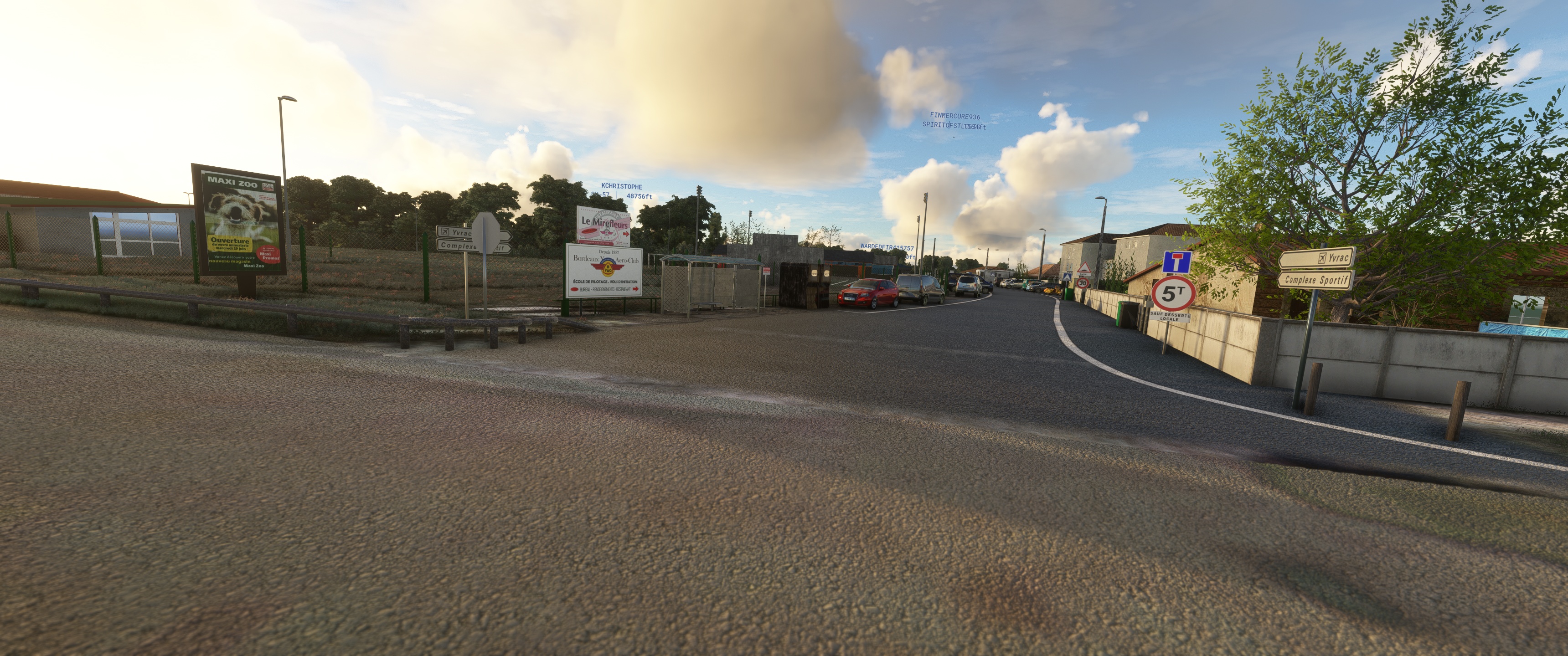
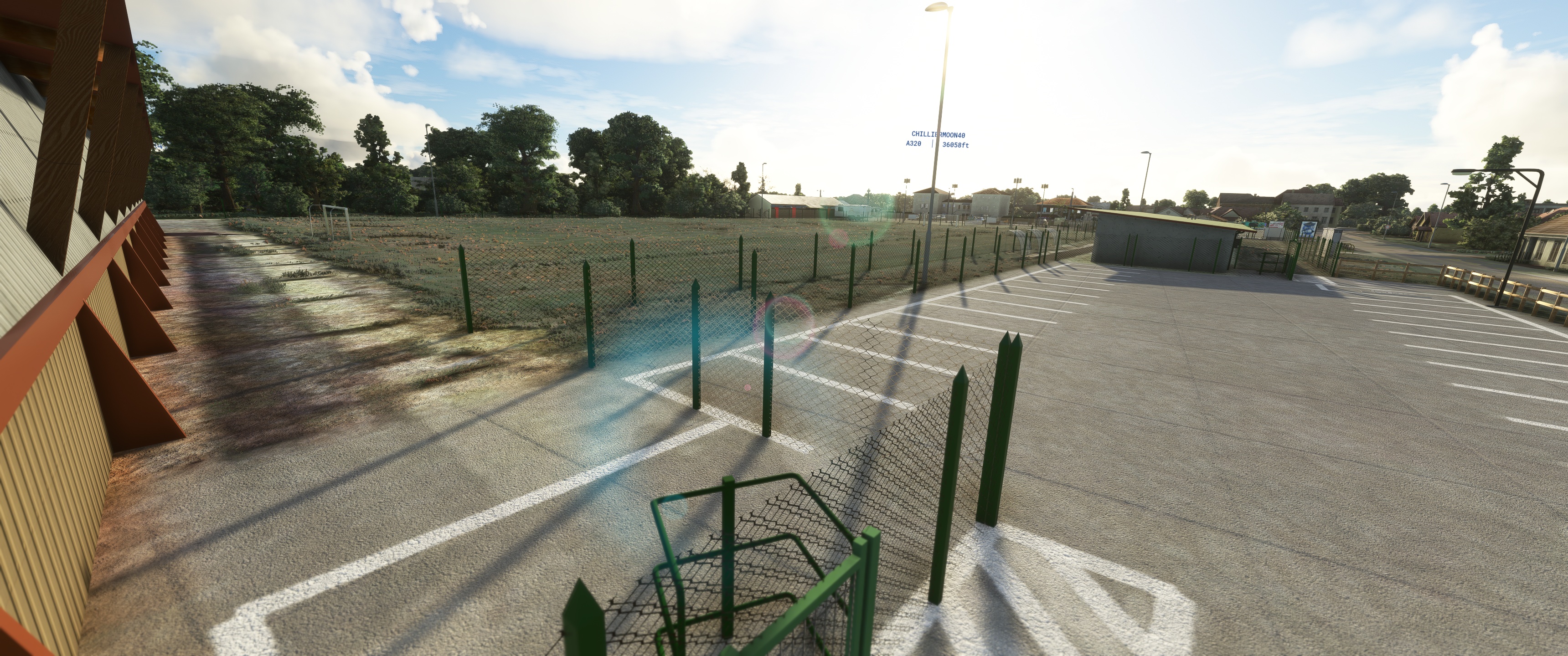
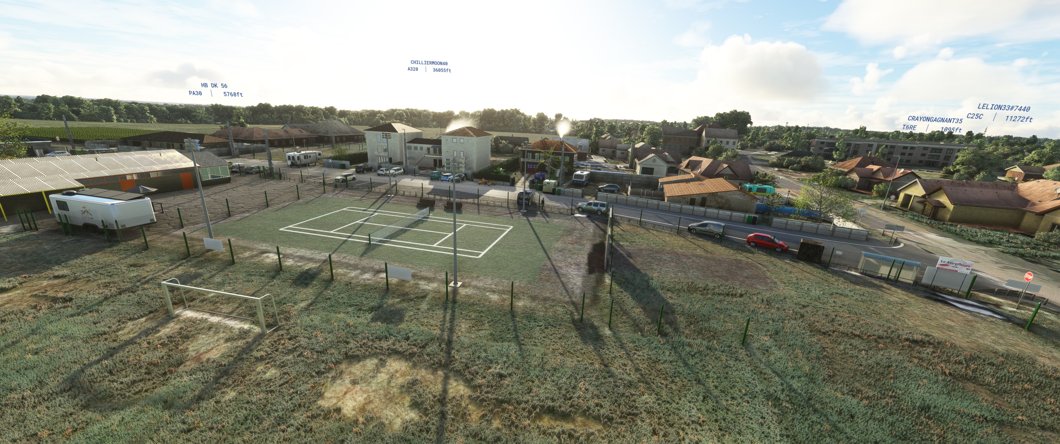
Facilities
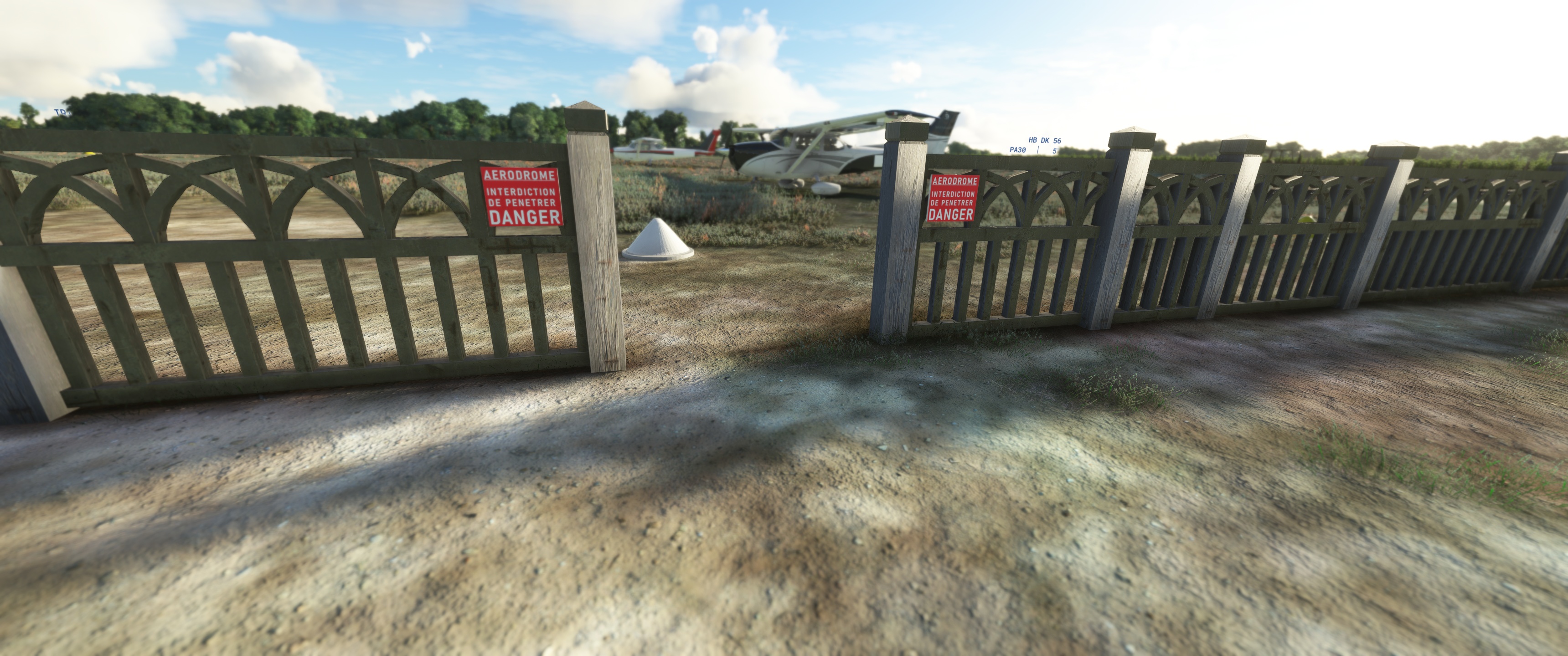
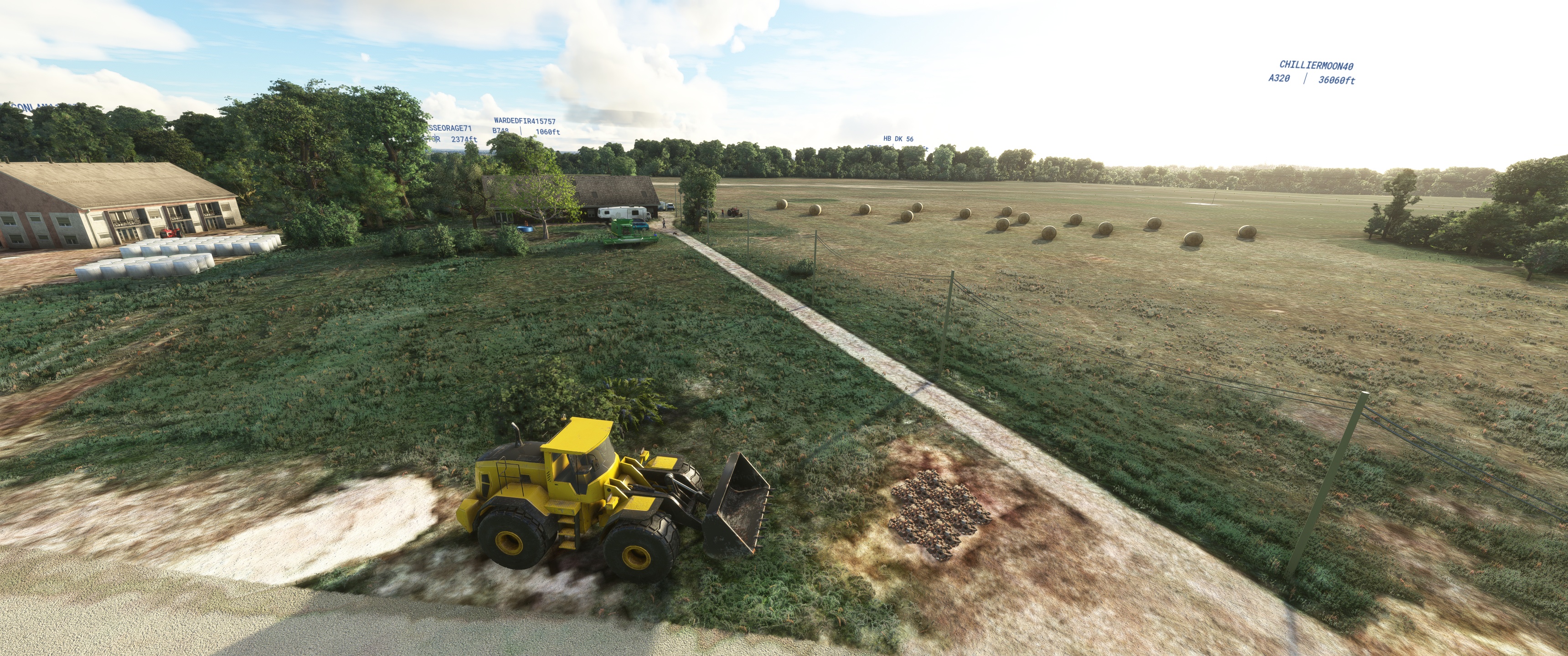
The airfield has a grass runway running east-west (11/29), 685 metres long and 602 metres wide.
The airfield is not controlled. Communications are self-information on the 119.950 MHz frequency.
There are also
a parking area
hangars
a refuelling station for fuel (100LL) and lubricants
a restaurant.
For this scene I think GoogleMaps is the best with Map Enhancement I built Yvrac with!
Huge thanks to Linou33500 for making me pictures of LFDY and to Colinj ,Moustache ,MichelVP,Totof,Ethnicfs, and EOL for sharing their libraries.
You'll need 6 libraries to see it all
Histoire
En 1936, le docteur Seynat, président du GTBA, à la recherche d’un terrain sur la rive droite de Bordeaux
pour compléter les terrains de la rive gauche (croix d’Hins, Beau désert, Mérignac), se pose avec Mr Leroy
à Yvrac sur un terrain agricole. Après des accords avec son propriétaire, Monsieur Mackertich, le terrain
est loué et deviendra une plateforme aéronautique avec une orientation Nord Sud de 600 m.
Pendant la guerre de 39/45, le terrain est occupé par l’armée allemande qui y construit
un blockhaus et des affuts de mitrailleuses.
Après la guerre, la remise en état, après la destruction des affuts et du blockhaus
a permis la reprise des activités aéronautiques avec seulement 450 m de piste
L’aménagement du site a pu être possible grâce à l’intervention des bases aériennes
et des militaires parachutistes et avec l’aide du Dr Auriac, construction du hangar
de 40 m x 20 m, dessouchage de plus de 150 arbres, travaux de nettoyage et de mise
en forme du terrain. La piste changera d’orientation pour devenir une 29 /11 en 1951.
Le club house verra, quant à lui, le jour grâce à l’intervention et la participation
de mécènes et à la bonne volonté des membres, le tout terminé est inauguré le 14 novembre 1954,
en présence du maire d'Yvrac Anatole Blaise et sous la présidence d’honneur de Jacques Chaban Delmas,
alors ministre des transports et maire de Bordeaux.
Installations
L’aérodrome dispose d’une piste en herbe orientée est-ouest (11/29), longue de 685 mètres et large de 602.
L’aérodrome n’est pas contrôlé. Les communications s’effectuent en auto-information sur la fréquence de 119,950 MHz.
S’y ajoutent,
une aire de stationnement
des hangars
une station d’avitaillement en carburant (100LL) et en lubrifiant
un restaurant.
Pour cette scène je trouve que GoogleMaps est le meilleur avec Map Enhancement j'ai construis Yvrac avec!
Vous aurez besoins de 6 bibliothèques pour tout voir
Énormes Merci a Linou33500 de m'avoir faits des photos de LFDY et a Colinj ,Moustache ,MichelVP,Totof,Ethnicfs, et EOL pour leurs partages de bibliothèques
Ethnicfs Vegetation library
Ethnicfs Vegetation library
https://fr.flightsim.to/file/56359/ethnicfs-vegetation-library
Ethnicfs Misc Scenery Objects
https://fr.flightsim.to/file/45163/ethnicfs-misc-scenery-objects
Animated Human 3D Models Library
https://fr.flightsim.to/file/33166/animated-humans-library
totof library object V5
https://fr.flightsim.to/file/17179/totof-library-object-v1-1
Emerald Object Library
https://emeraldscenerydesign.com/
https://fr.flightsim.to/file/8824/emerald-object-library
MSFS PBK Effects Scenery Library
https://flyawaysimulation.com/downloads/files/24887/msfs-pbk-effects-scenery-library/
laserjet©2023